Calibrate a DXF for field stakeout tutorial
Goal
Workflow on how to georeference a DXF drawing on survey data for field stakeout.
Topics
Use of survey data for georeferencing a DXF drawing.
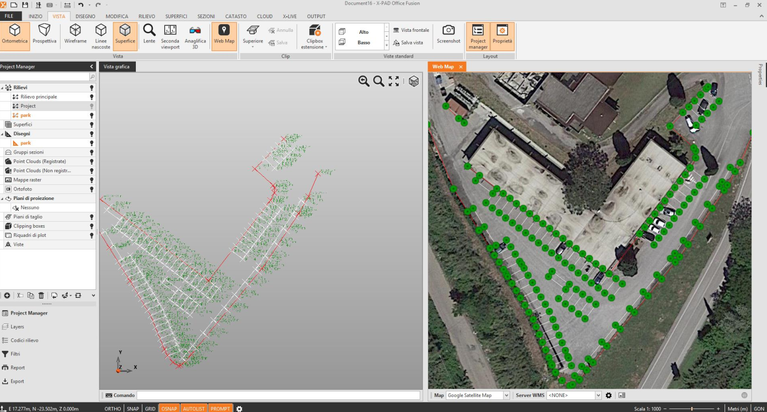
Web map to view data.
Export data for field use.
Workflow on how to georeference a DXF drawing on survey data for field stakeout.
Use of survey data for georeferencing a DXF drawing.
Web map to view data.
Export data for field use.