Fusion bootcamp
In the X-PAD Fusion Bootcamp, our Product Experts will take you through different surveys with TPS/GNSS, scanners, and drones. Each webinar will be dedicated to multiple applications performed on the same site with the various sensors.
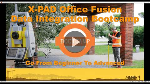
X PAD Fusion Data Integration Bootcamp Go From Beginner To Advanced All Sensors
Learn how to integrate data from all sensors in a single project, following our Data Integration Bootcamp example.
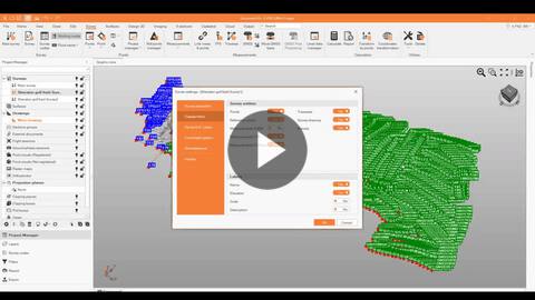
X PAD Fusion Data Integration Bootcamp Go From Beginner To Advanced X TOPO
In this webinar we will see the integration of topographic instruments in Fusion for our Bootcamp project.
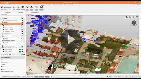
X PAD Fusion Data Integration Bootcamp Go From Beginner To Advanced X PHOTO
See our process aerial photos in our photo processing module to generate point clouds and orthophotos and integrate them with topographic data and measurements.