Ground image processing tutorial
Goal
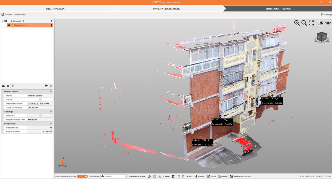
Learn how to import and manage data to create point clouds and elaboration from terrestrial images.
Topics
Create point cloud from terrestrial images.
Create 3D surfaces from point cloud.
Stereo drawing tool.
Sample data and guides
🔖 38.Tutorial Image Processing_Terrestrial_GROUND MODULE 2.0.pdf