
Goal
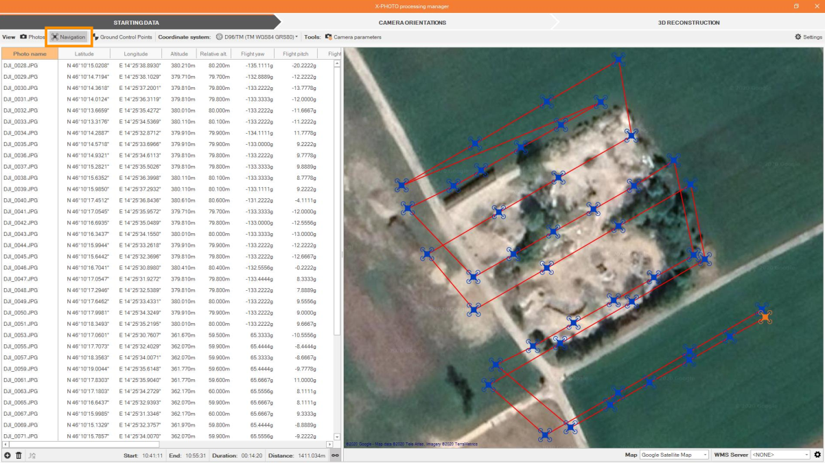
Learn how to import and manage data to create point clouds and elaboration from aerial images.
Topics
-
Create point cloud from aerial images.
-
Create DSM, orthophoto and 3D surfaces from point cloud.
-
Stereo drawing tool.
Sample data and guides
🔖 37.Tutorial Image Processing_Aerial 2.0.pdf