X-PHOTO webinars
Webinars dedicated to X-PHOTO module and how to work with aerial and terrestrial photogrammetry
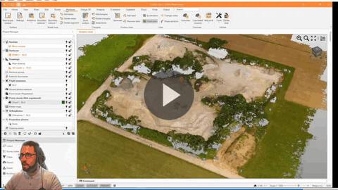
From Office to Field Webinar Part 2 - From RTK planning to X-PHOTO
From the RTK flight planning to data processing and final elaborations of aerial photos using the Aerial Photos Processing module (X- PHOTO) in Fusion software.
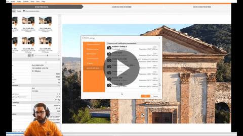
Using State of the art terrestrial image processing technology made easy
Learn how to use terrestrial photogrammetry within the module X-PHOTO.
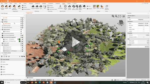
How to increase your efficiency with aerial image processing
Learn how to work with aerial photogrammetry and optimize the workflow.