X-TOPO webinars
Webinars dedicated to X-TOPO module and CAD and topographic functions in the software.
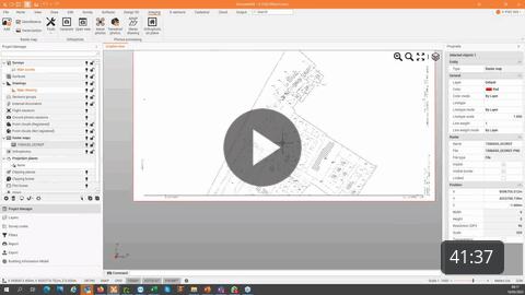
Learn how to manage and georeference raster maps in Fusion office software, using different methods, and import the data to Ultimate on field controller.
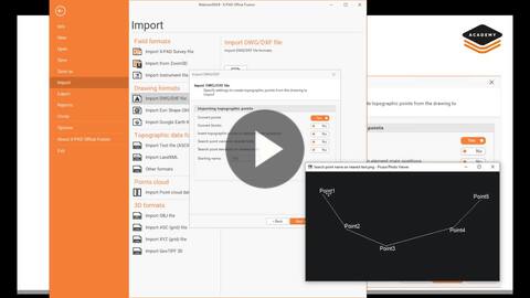
DXF/DWG data preparation in office for field stakeout
This webinar is about data preparation in Fusion for field stakeout. Learn how to import DXF/DWG files, clean them and export them for an efficient stakeout in the field with X-PAD Ultimate.
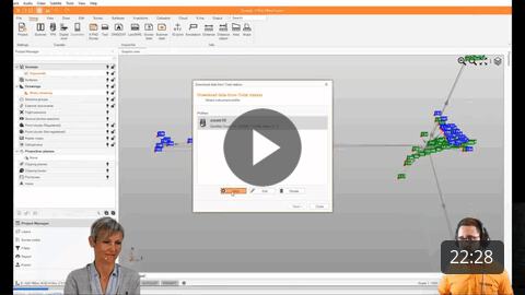
X PAD Fusion PRO Module easy start into basic data preparation and processing at no cost
Learn how to work with Fusion PRO module for basic data preparation.