Skip table of contents

X-TOPO video tutorials

Here you have access to a playlist made up of a series of mini-tutorials dedicated to X-TOPO module.

Manage points and measurements

How to manage topographic point list and measurements list.

Photo manager

How to use the photo manager function to manage photo assigned to topographic points.

Draw functions

How to use drawing functions.

Web map

How to use web map as background to the data.

Edit functions

How to use edit functions.

Use and georeference raster maps

How to import, use and georeference raster maps.

Survey calculations

How to perform a TPS and GNSS survey calculation.

Surface calculation

How to generate a surface and contour lines.

Volume calculation

How to perform a volume calculation on surfaces.

Design 3D

How to use design 3D functions to work on surfaces and sideslopes.

Cross sections

How to generate cross section lines and cross section layout

Plot box

How to plot the drawing.

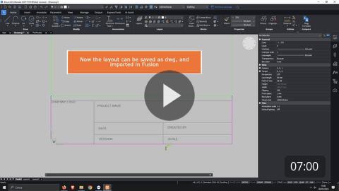
Create a custom plotbox layout

How to create a custom plotbox layout to be used when printing the drawing.

JavaScript errors detected

Please note, these errors can depend on your browser setup.

If this problem persists, please contact our support.