Export a GSI file
 |
|  |
| 
Exports topographic points, reference points and TPS measurements in GSI format.
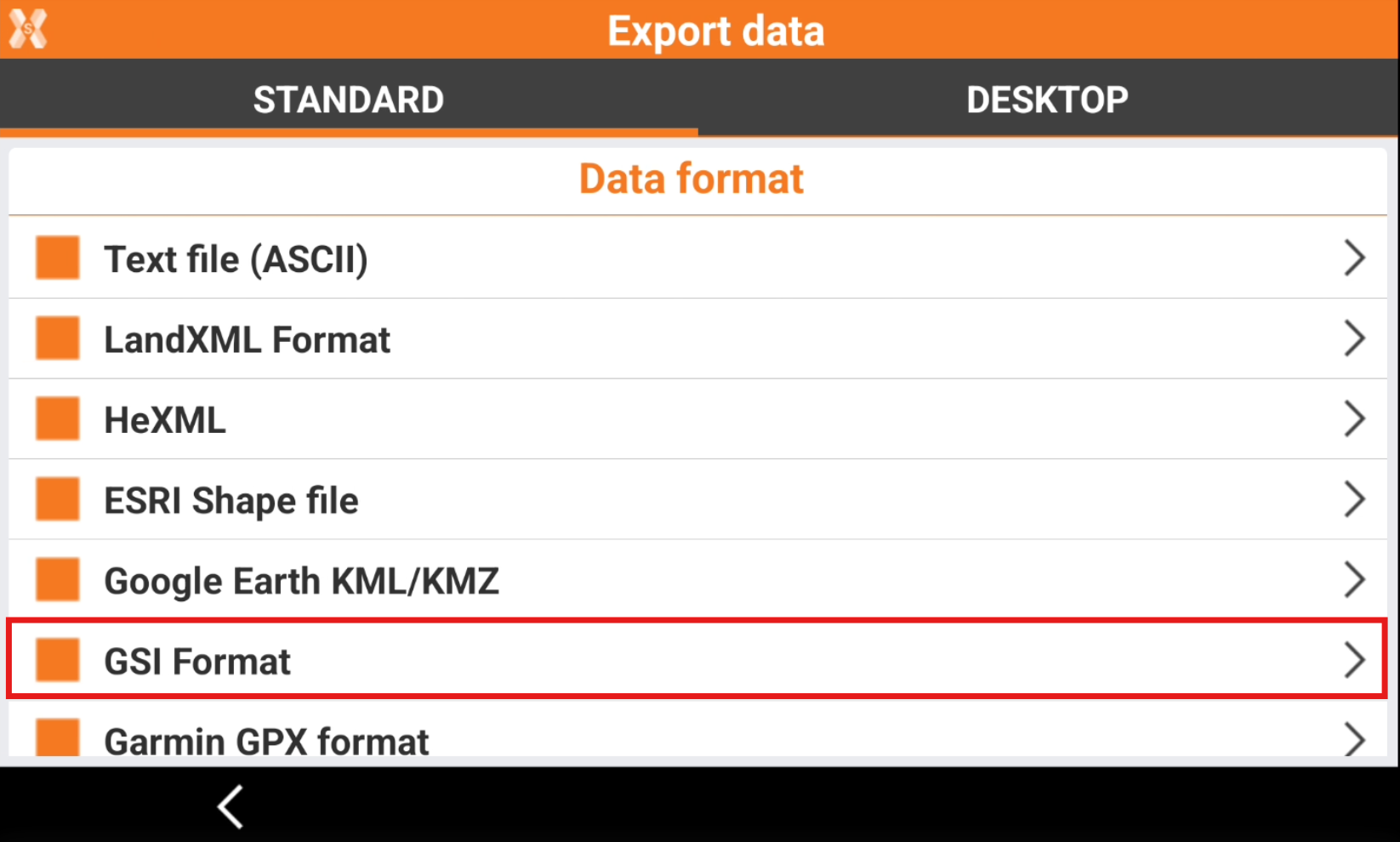
To export the data select GSI Format.
Enter the Export options.
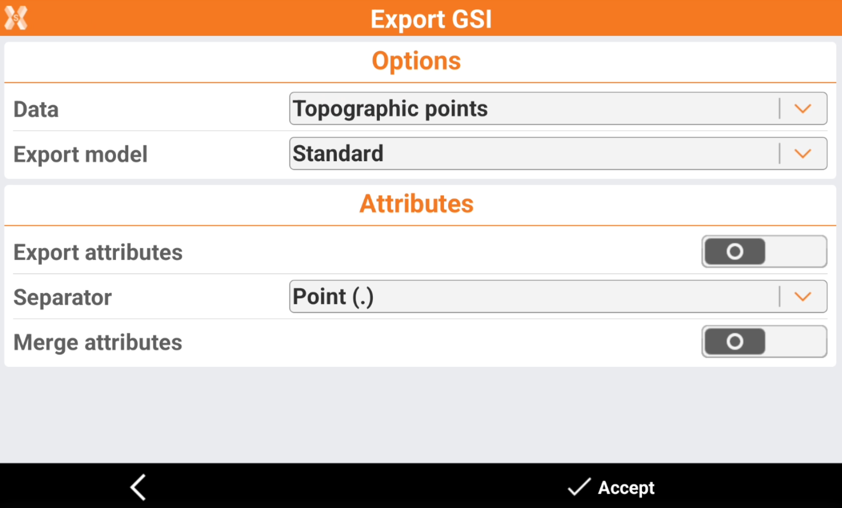
Data: select the type of data to export:
Topographic points: export the topographic points.
Reference points: exports the reference points.
TPS measurements: export the total station measurements.
Export model for topographic points: for topographic points, select an export model.
Points for Phytagoras.
Points for CodeGrafik (rmData).
Points for SiteWorks (Sweden).
Export model for TPS measurements: for TPS measurements, select an export model.
TPS measurements Phytagoras.
TPS measurements LSS.
TPS measurements CodeGrafik (rmData).
TPS measurements RGM2000.
Export attributes: activates the export of the point codes as attribute of GSI format
Separator: separator used for composed codes. In the code of the point, more than one code can be saved separated by characters such as point, comma, space or other. During export of attributes, the complete code is divided in sub-codes based on separation characters.
Merge attributes: activates the export of single codes composing the complete code. A separa
Click Accept to export the file.