Export a LandXML file
 |
|  |
| 
The software allows to export topographic points, reference points, measurements, drawing and surfaces in LandXML file format.
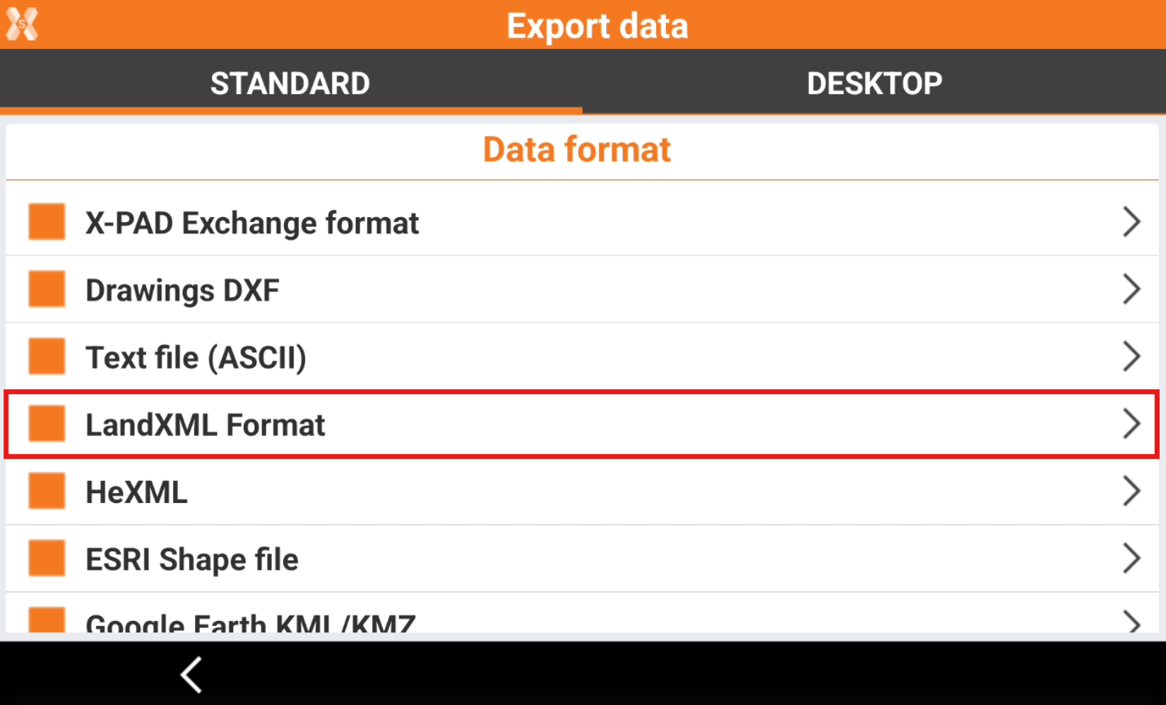
To export the data in LandXML select LandXML Format.
Enter the LandXML Export parameters.
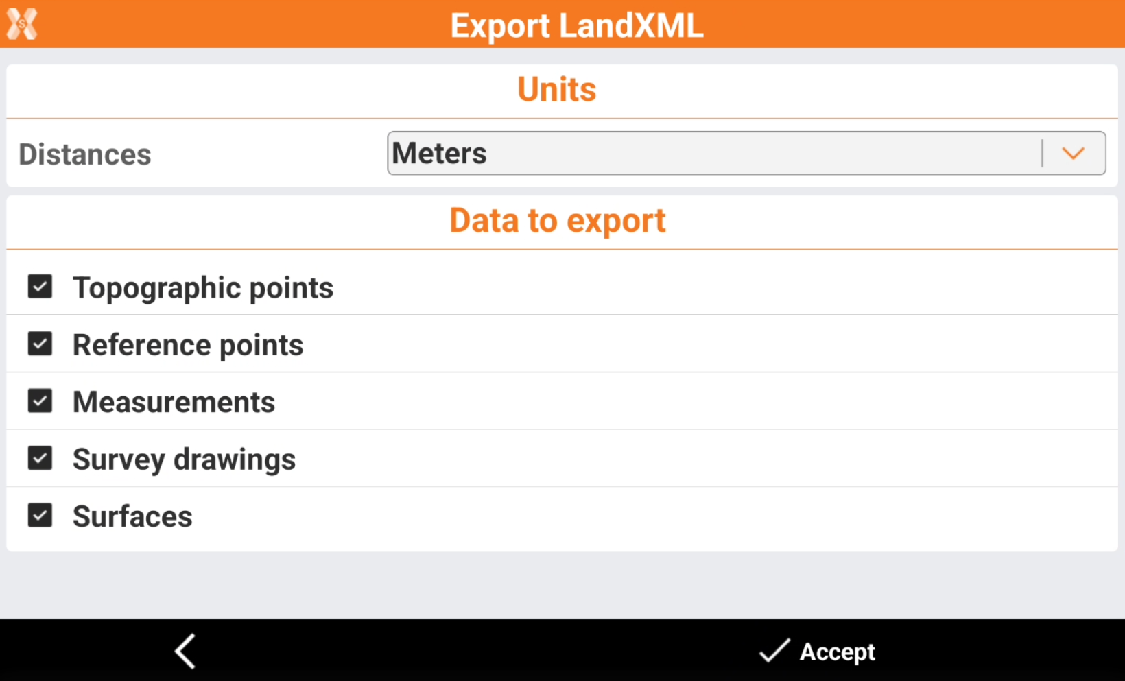
Distances: the units used in the exported file.
Data to export: allows to select the data to export.
Click Accept to export the file.