Web Map Server maps (WMS)

WMS is an acronym for Web Map Services, a standard protocol for sharing 2D maps online. This technology is used globally and has been around for many years. Governments and municipalities often utilize WMS to share public information.
Click Map
 to open the map view.
Click Select map
 to open the setting menu.
Open WMS ON-LINE page.
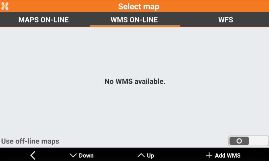
Click Add WMS to add a new WMS.
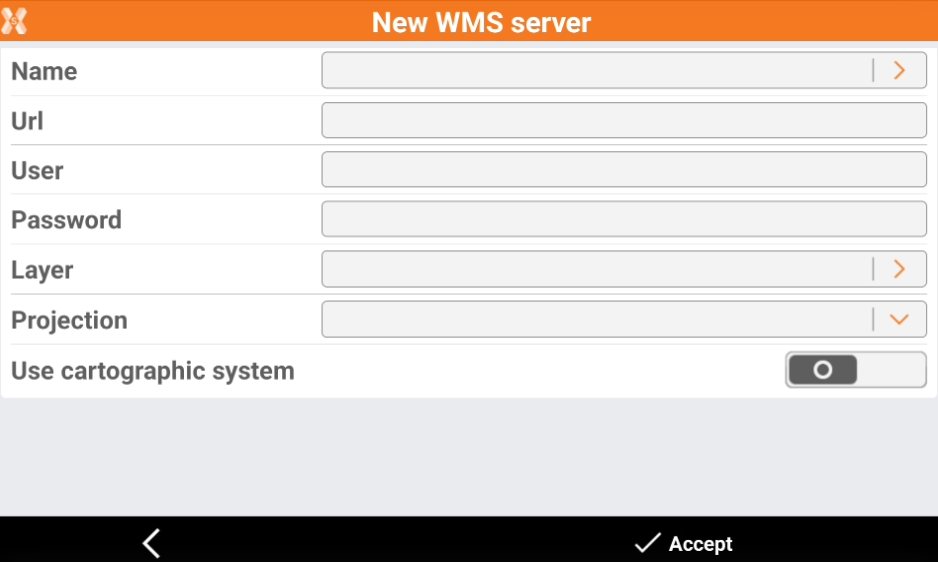
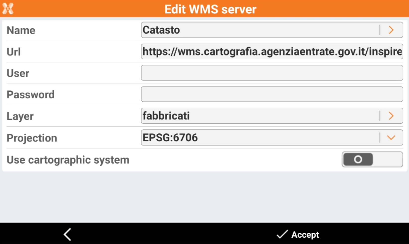
Name: Name to assign to the WMS map. Click the orange arrow to load predefined WMS services.
Url: internet address of the WMS map.
User: user name for accessing the WMS service (optional).
Password: password for accessing the WMS service (optional).
Layer: to select the layer to visualize among the ones available in the server, click the orange arrow to display the available layers.
Projection: projection used by the WMS service.
Click Accept to load the WMS.
We loaded WMS for some countries. Predefined WMS are available in the country package (see Install the localization package).
If you cannot load a WMS, try to change the projection.
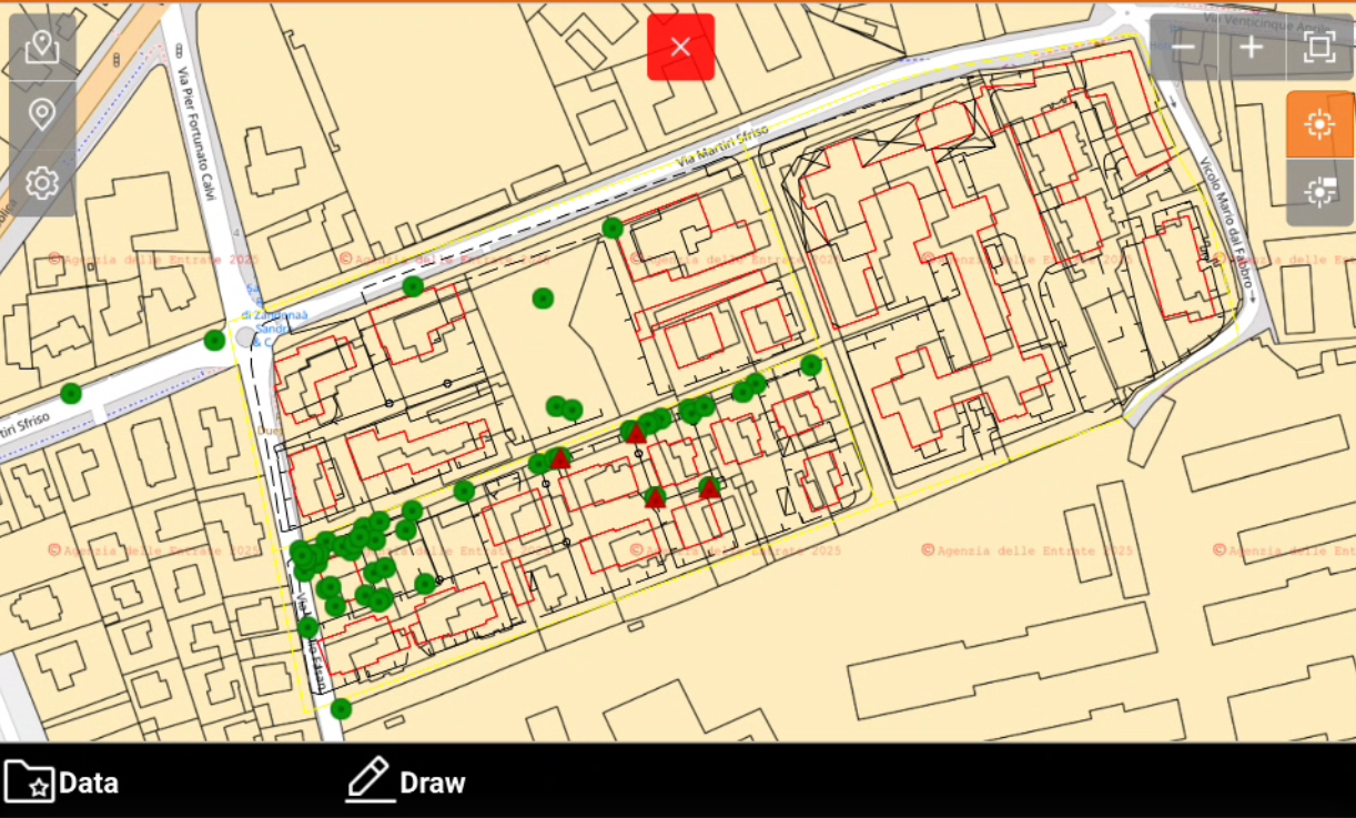
The WMS is now available in the WMS ON-LINE map.
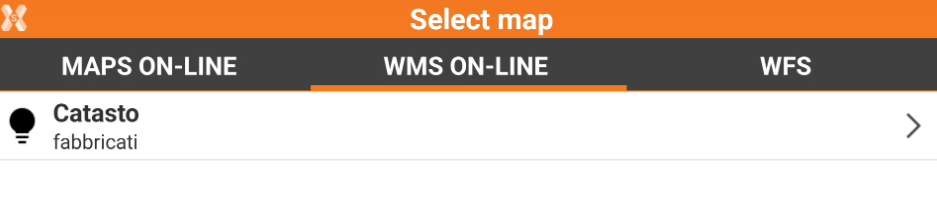
The WMS is overlay to the selected online map.
Drawing on an online maps
It is possible to draw points and lines while the CAD view is displayed on an online map.
Click Draw.

This opens a toolbar.
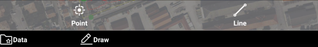
Point: to draw points on the map. Click directly on the map or use the snap to create new topographic points.
Line: to draw lines on the map. Click directly on the map or use the snap to create new lines.