Post process static data step-by-step
In this tutorial we will see a simple example on how post-process raw data from 2 rover files.
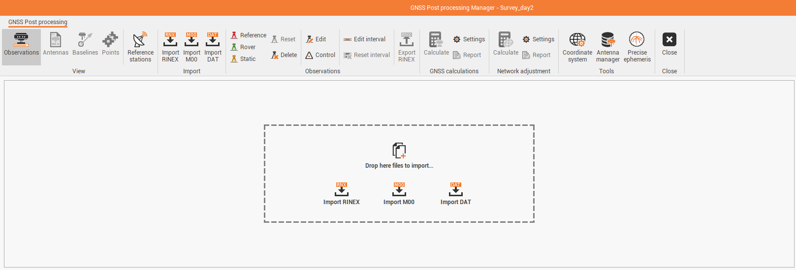
Start the GNSS Post Processing module.
Drag and drop the raw data or click to import the raw data.
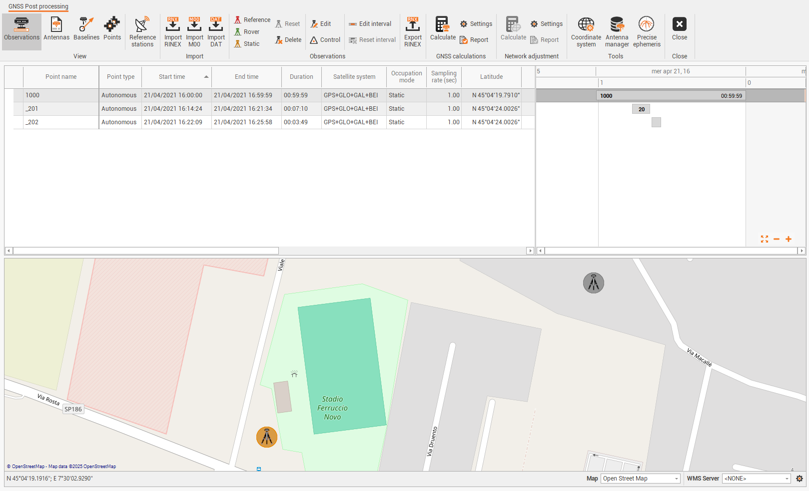
In the Observations page the imported observations are listed, with their properties. In the map view the points are visualized over an online map.
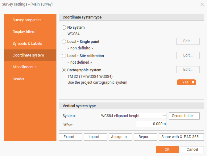
If not already assigned in Fusion, click on Coordinate system to assign a coordinate system to the project.

Refer to Coordinate system on how to define the coordinate system.
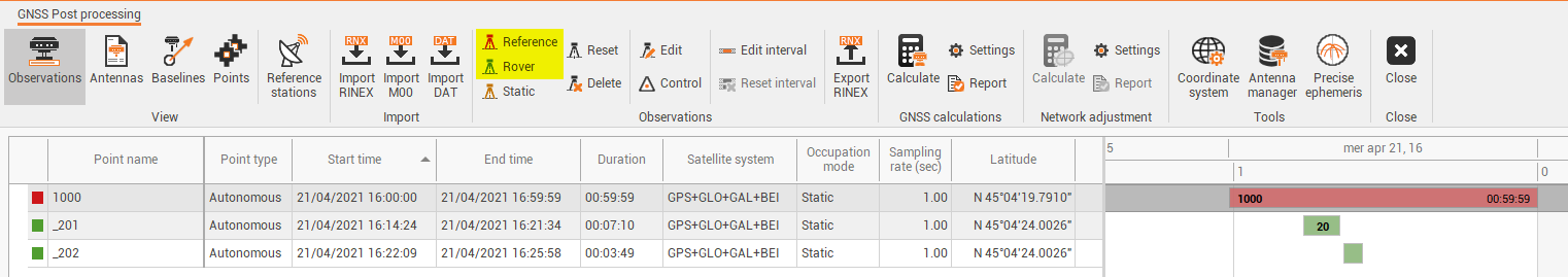
From the Observations page, use the Reference button and the Rover button to assign which observations are from the base and which are from the rover.
The observations are colored according to the selection.
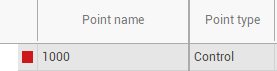
Probably we want to fix the coordinate of the base. Select the base point and click Control to change its Point type from Autonomous to Control.
Click on Edit to edit the coordinates.
Now we are ready to process the data. Click on Calculate to process the static data.

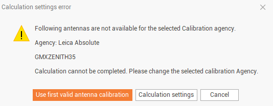
If when calculation is started, this window is visualized, means that for the selected calibration set, was not possible to find the calibration for both base and rover antennas. Click Use first valid antenna calibration to automatically use a calibration set where both antennas are available.
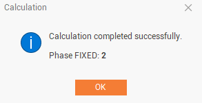
After the calculation the software shows us the calculation result and opens the page Baselines.
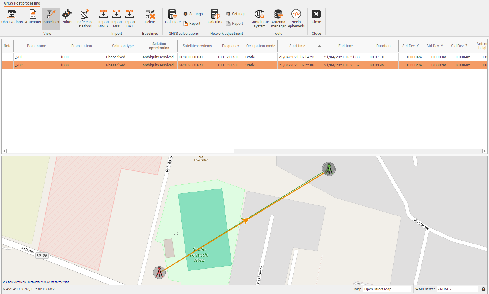
In Baselines page we can see the calculated baselines and the properties. On Points page we can see the new calculated coordinates and the estimated error.
Click on Report to generate and export the calculation report.

Open Points page and click on Save as points or Save as references to save the points and baselines to the current Survey subproject, in case we need the data for additional calculations.