Survey polyline from other types of polylines
Use this command to create a survey polyline from other types of polylines, as drawing polylines, boundaries, design lines, cut-fill lines.
A survey polyline is a polyline part of the Survey subproject. When a polyline is part of the survey means its points a topographic points, and the line between the points follows the points (for example after a coordinate system calculation).
Click Draw.
Click below Polyline to open drop down menu.
Click Survey polyline from others.
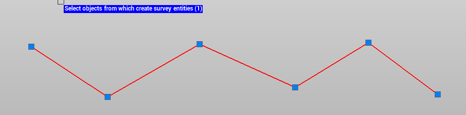
Select the polyline that you want to convert to survey polyline (in the picture below it is a drawing polyline).
Right click to confirm the selection.
The polyline is now a survey polyline.