Georeference CAD data on the web map
It is possible to use the web map even if the data is not georeferenced (for example total station data or a drawing), using a local system.
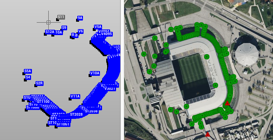
If the data has no WGS84 coordinates, a window will pop-up when selecting the web map without any GNSS data.
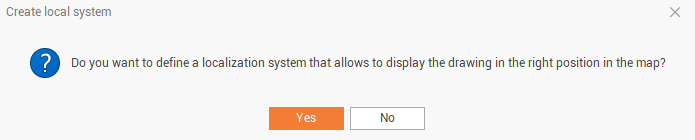
Click yes to specify the local system.
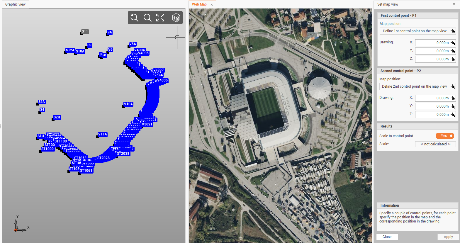
The local system is defined by 2 control points defined on the map and on the drawing.
Click to select the first control point on the drawing and on the map. This process requires to select the same point graphically on the drawing (on the left), and on the map (on the right).
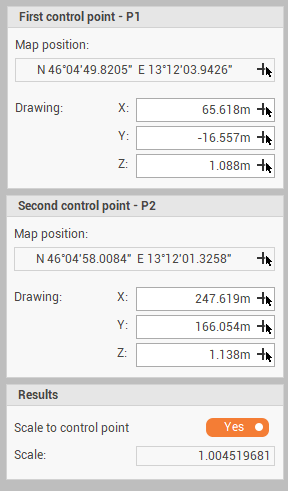
When the 2 control points have been selected, click on Apply.
The local points will now be displayed on the web map.