
The command Parcel is used to create new cadastral parcels, as Survey subproject.
-
Click Cadastral.
-
Click Parcel.

-
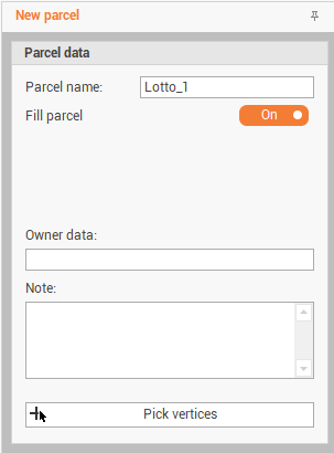
The command opens a new panel on the right.
-
Parcel name: the name of the parcel.
-
Fill parcel: enables/disables to fill the parcel.
-
Owner data: information on the owner of the parcel.
-
Note: notes related to the parcel.
-
-
Click Pick vertices to define the parcel picking the vertexes in CAD.
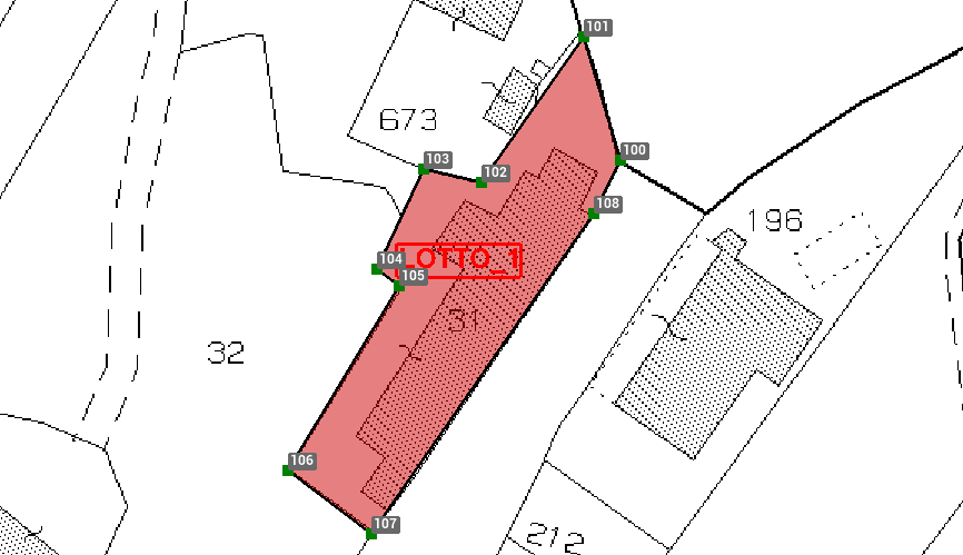
You can create a parcel from an existing polyline using the command From polyline under Parcel function.