Free station 3D

The orientation mode Free station 3D defines the position and orientation of station based on measurements of three or more reference point.
The calculation is based on a 3D transformation instead of a separate coordinate and elevation calculation.
The procedure is similar to the one for a normal free station.
Select No. Station position has to be calculated.
Select Free station 3D.
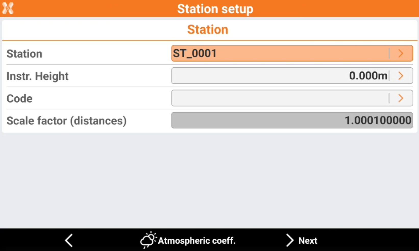
Station: name of the station. Select a point existing in the job.
Instrument height: elevation of the total station from the ground. It is possible to calculate the height of the instrument.
Code: code to assign to the station point in case a new point is created.
Click Atmospheric coeff to change the atmospheric coefficients.
Click Next to proceed with the guided procedure.
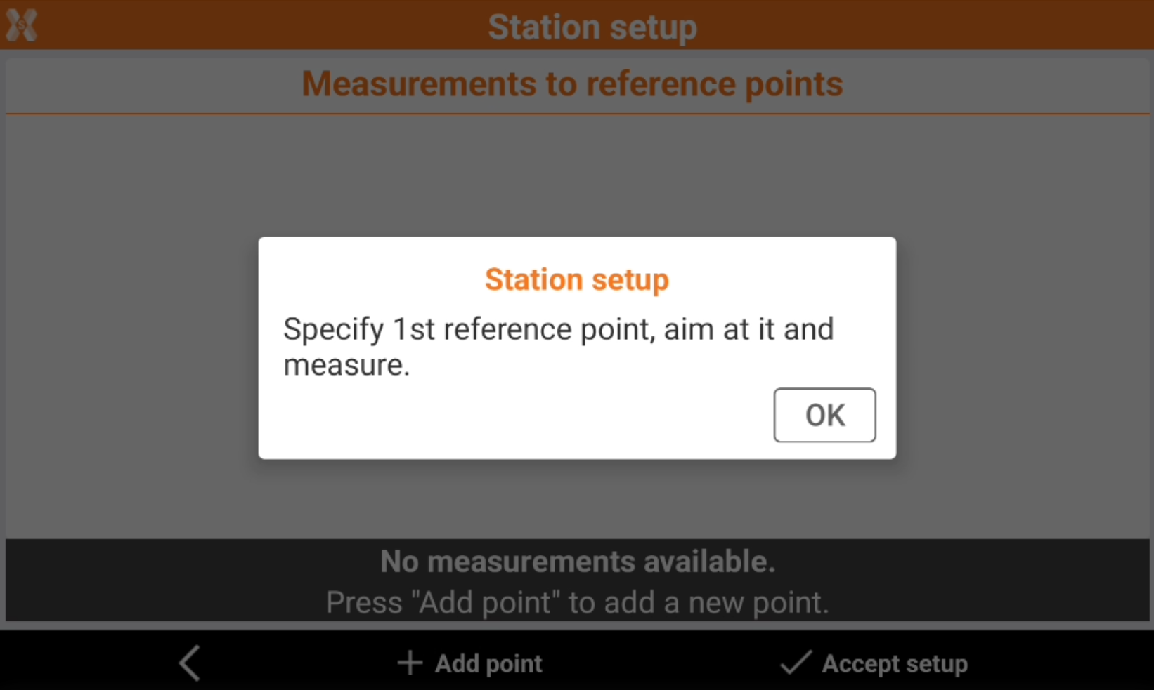
Define the first reference point and perform the corresponding measurement. It is possible to enter the reference name, select it from the list of points, from the list of the reference points or from the graphic window.
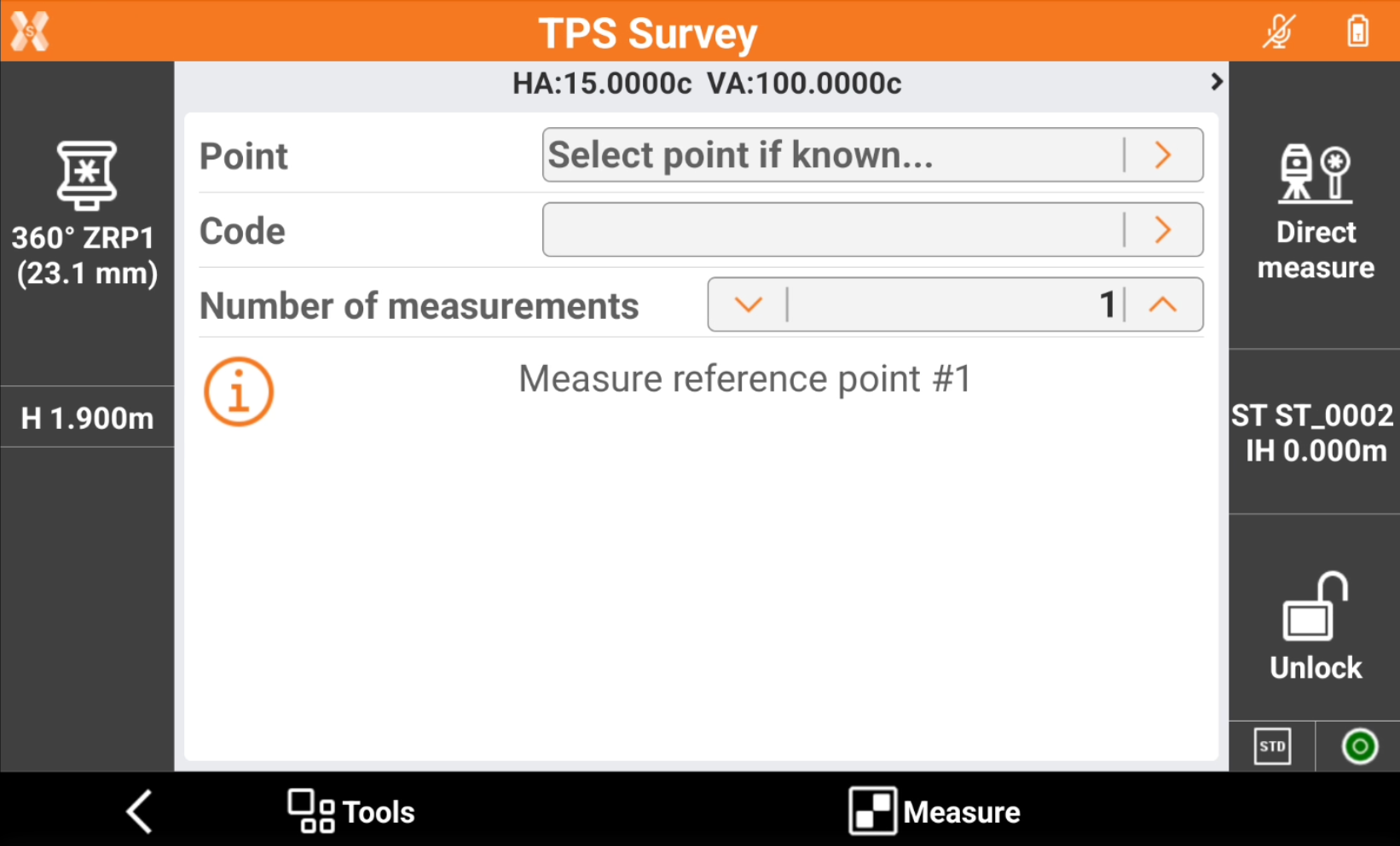
Aim the reference point.
Tap Measure.
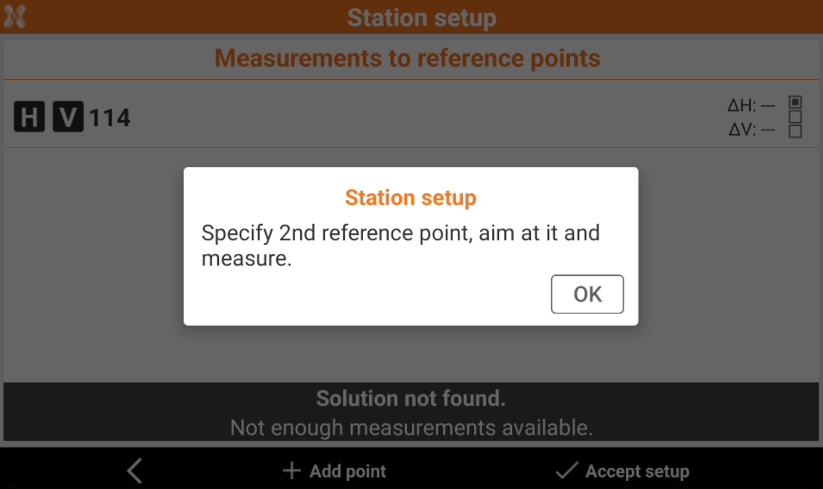
After the first reference point has been measured, press OK to continue to add measurements.
The software shows the list of measured reference points.
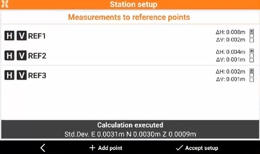
The points measured are displayed in a table. Displayed is:
The calculated standard deviation of every point.
The total standard deviation for the calculated station position.
Click H and V to enables and disables the use of the measurement for the orientation calculation of the station for the horizontal or vertical component.
Click
 to change the types of differences displayed.
Tap Accept setup to confirm set data and complete the procedure.
Click Report to generate and export the calculation report.
The instrument relocks to the prism automatically after the free station results have been accepted.