Skip table of contents

Import a LandXML file

X-PAD Ultimate Survey 1.png | X-PAD Ultimate Build 1.png | X-PAD Ultimate GO 2.png

The LandXML import allows to import topographic points, drawings, surfaces and road axis.

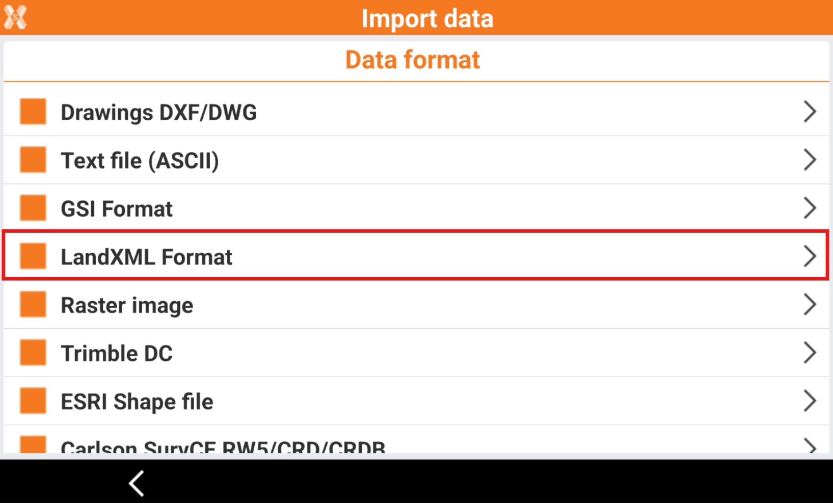
  • To load a file in LandXML format select Import data.

  • Click LandXML Format.

    image-20250908-133503.png
  • Select the file.

  • The software shows a report of the imported entities.
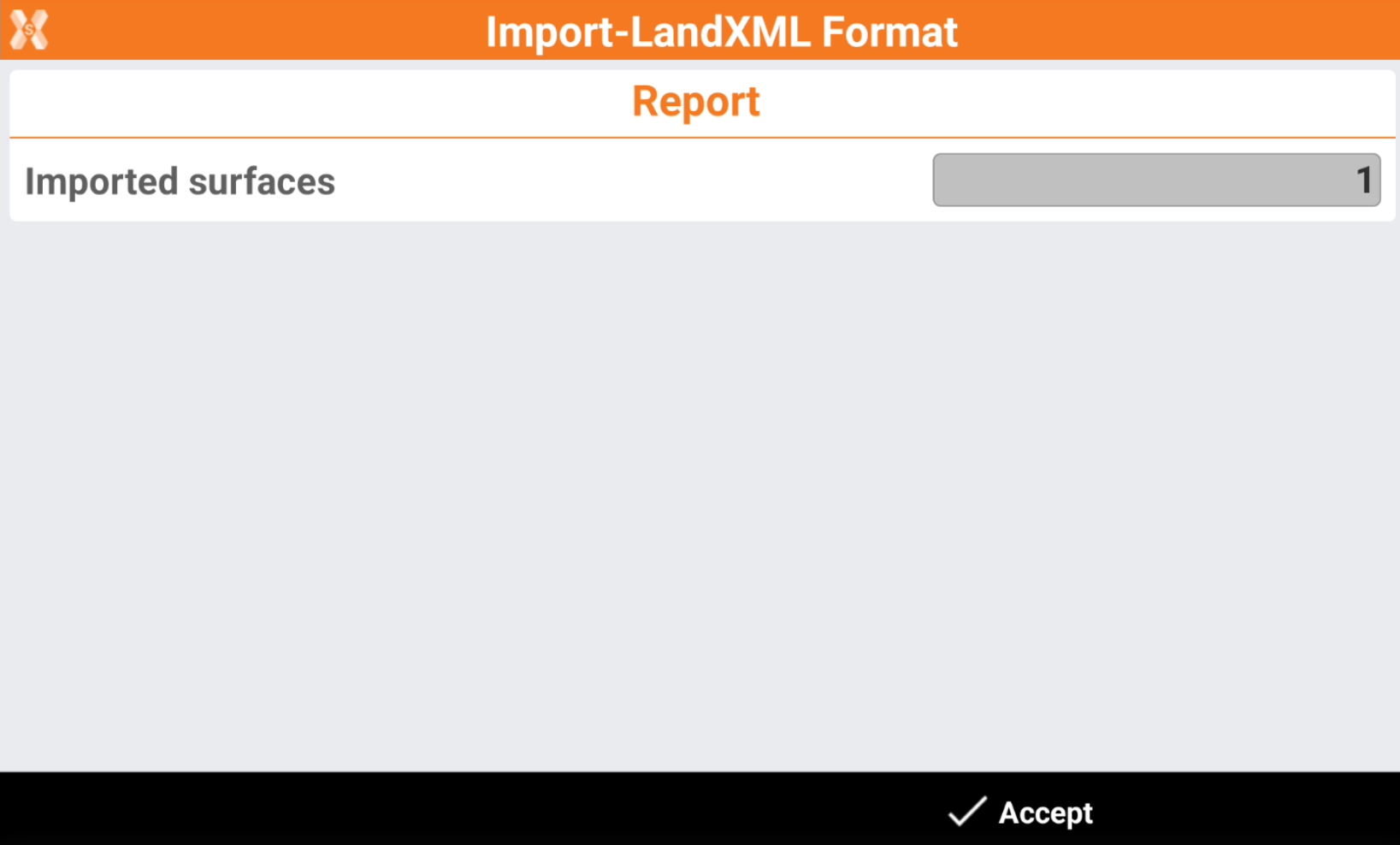
    image-20250908-133557.png
  • Click Accept.

JavaScript errors detected

Please note, these errors can depend on your browser setup.

If this problem persists, please contact our support.