Polyline
 |
| 
Polyline command creates a polyline connecting topographic points.
Click Draw.
Click Line.
Select position to create the polyline.
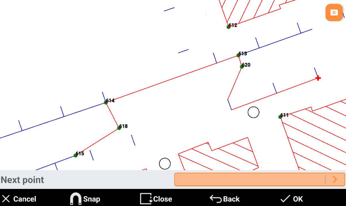
Cancel: cancels the created polyline.
Snap: allows to activate the object snap.
Close: connects the last created point with the first one.
Back: cancels the last segment.
OK: creates the polyline.