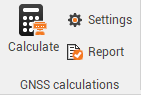
GNSS calculations
Once the observations have been defined, selecting the reference and rover observations, it is possible to proceed with the GNSS calculation.
Click Settings to open the calculation settings.

This command opens a new window.
General page shows the main settings for the GNSS calculation:
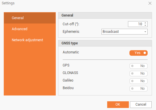
Cut-off: the cut-off angle to consider when processing the data.
Ephemeris: the ephemeris to use, broadcast or precise if available.
GNSS type: to select if use all available constellations or some specific constellations.
Advanced page shows advanced settings for the GNSS calculation:
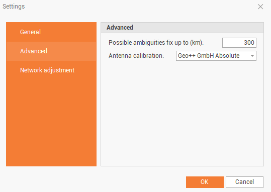
Possible ambiguities fix up to (km): the limit to fix the ambiguity in terms of baseline length.
Antenna calibration: the calibration set to use for the processing. The selected calibration set must include both antenna calibration for reference and rover.
Click on Calculate to process the data.

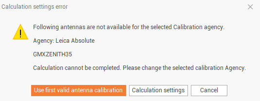
If when calculation is started, this window is visualized, means that for the selected calibration set, was not possible to find the calibration for both base and rover antennas. Click Use first valid antenna calibration to automatically use a calibration set where both antennas are available.
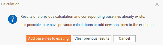
If there are existing baselines to same rover point, for example since we are calculating the rover point from multiple reference stations, this message is visualized. Click Add baselines to existing to add the calculated baseline to the list of existing baselines or click Clear previous results to delete previously calculated baselines.
At the end of calculation, the software shows the result and the Baselines panel is opened.
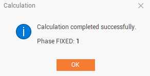
In the Baselines panel it is possible to check the result. Refer to Baselines.
In the Points panel it is possible to check the point new coordinate and quality. Refer to Points .
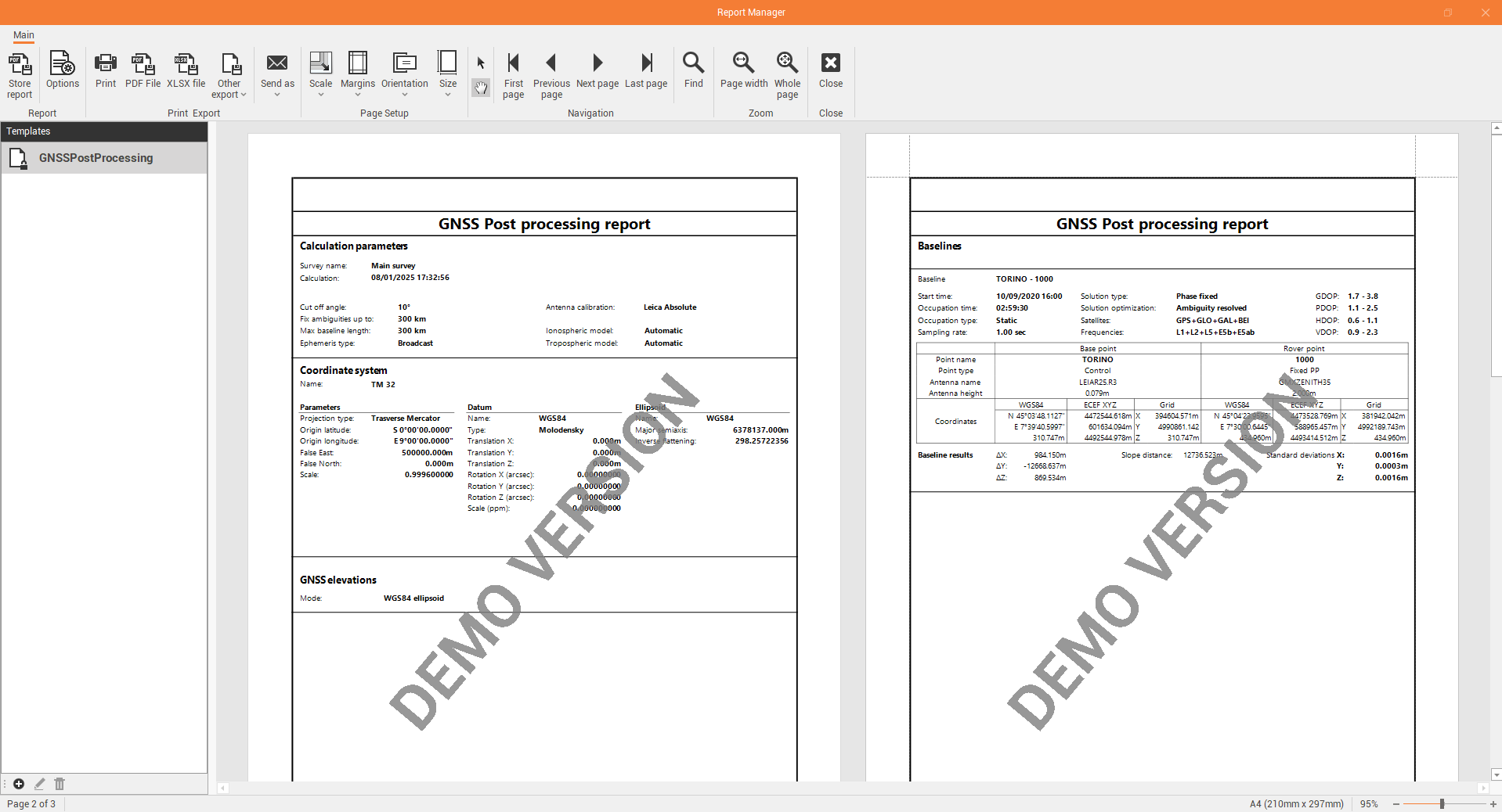
Calculation report
After a GNSS processing has been performed it is possible to export a calculation report.
Click Report to generate and export the calculation report.