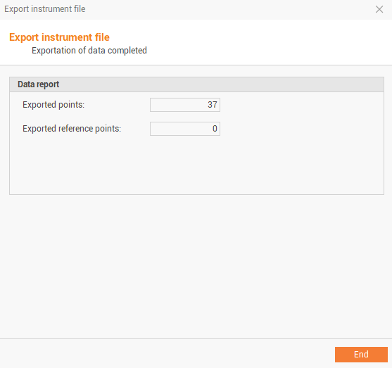
It is possible to export the topographic points of the active survey subproject in the instrument format of different brands which can then be loaded into the controller.
-
Click File.
-
Click Create instrument file.
-
Click Export.
-
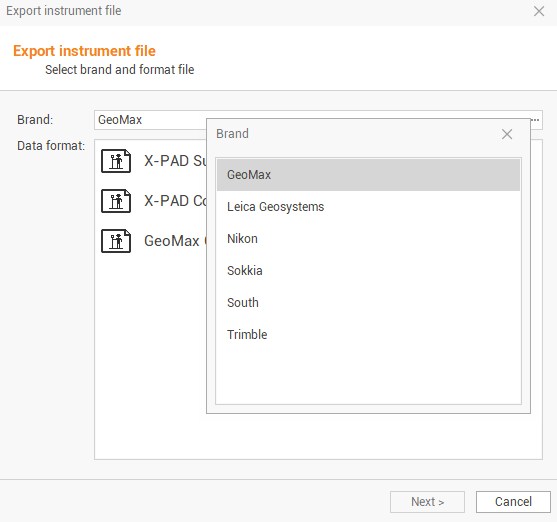
The command opens a new window.
-
The command requires the following settings:
-
Brand: to select the instrument brand from a list.
-
Data format: to select the format of the file to export from a list.
-
-
Click Next.
-
Enter the filename and the export location. Click on

-
Select if to export Topographic points or Reference points.
-
Click Next to confirm and export the points.