
Survey reports allows to generate a report using topographic data.
-
Click File.
-
Click Reports.
-
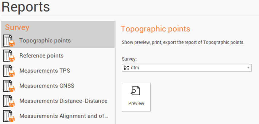
The available reports are:
-
Topographic points: a report listing topographic points available in the project.
-
Reference points: a report listing reference points available in the peoject.
-
Measurements TPS: a report listing TPS measurements.
-
Measurements GNSS: a report listing GNSS measurements.
-
Measurements Distance-Distance: a report listing measurements by distance-distance.
-
Measurements Alignment and offset: a report listing measurements by alignment and offset.
-
-
Select the Survey subproject.
-
Click Preview to open the Report Manager to customize, save or print the final report.