Measure of a TPS point
 |
|  |
| 
To measure a TPS point and review the result click Measure.
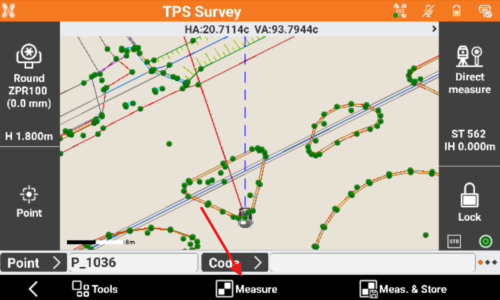
Measure the target.
Decide if the point will be recorded. The angle measured to an unaccessible point can be edited.
Click Store to record the measured data.
If GIS feature are required for a point code, a window for entering the attributes opens.
Data page
The page shows the main point information.
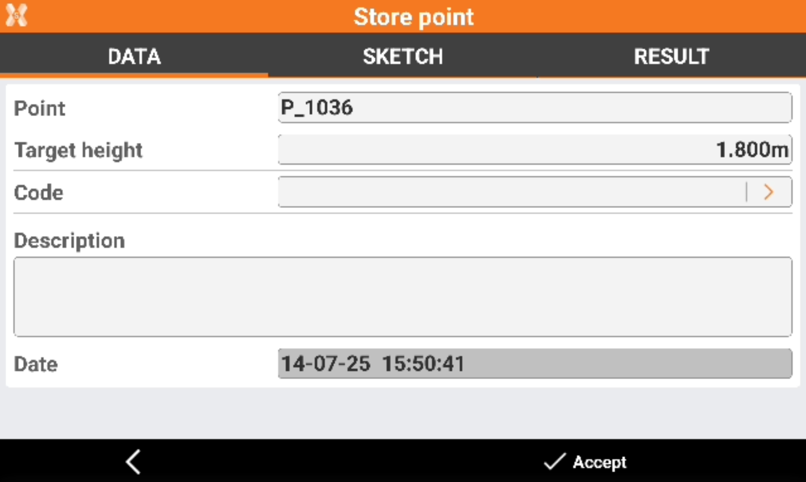
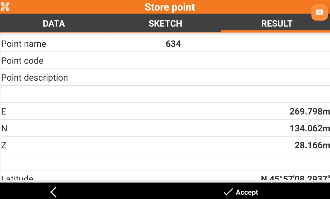
Point: name of the point to store.
Target height: elevation of the target at the moment of the acquisition of the point.
Code: code assigned to the point.
Description: extended description associated to the point.
Sketch page
Sketch page allows to view the photo assigned to a point, load or take a new photo or draw on the image to have a picture of the topographic point.
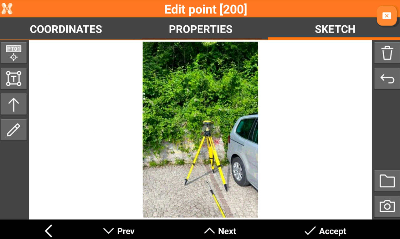
 : creates a text box with point name, coordinates and codes on the picture. Select and drag
  to move the text box.
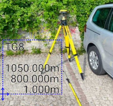
 : creates a text box with free text. Select and drag to move the text box.
 : creates an arrow. Select and drag to move the arrow. Click on to change icon to rotation
  to rotate the arrow.
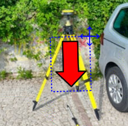
 : enables the free drawing mode.
 : deletes sketch and photo.
  : restores original content
  : loads a photo from the controller internal memory. The image must be in the Images folder and has to be in .jpg or .jpeg format.
 : starts the application allowing to shoot a photo and save it.
Result page
The result page shows a resume of measured point.