Display an online map in background
Shows/hides an online web map window where CAD entities can be overlaid.
Click on View.
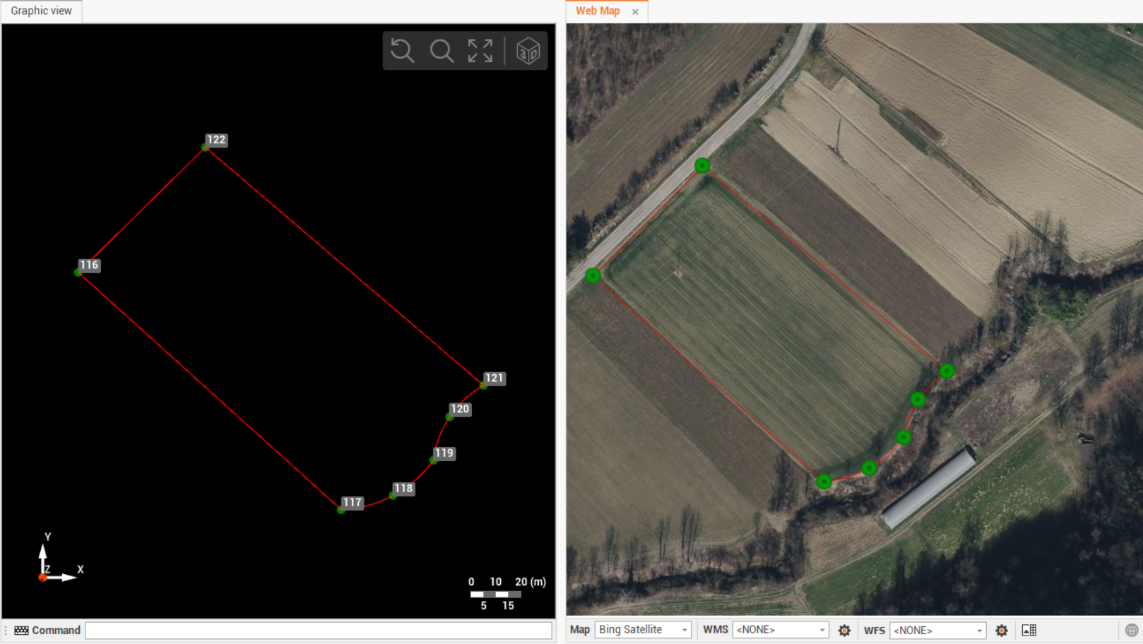
Click on the Web Map icon to display the web map view, as a second view in the CAD.

The measured points, with valid WGS84 coordinates, are displayed over the map.
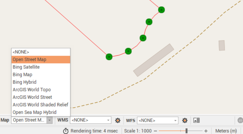
Click on the Map drop-down menu to choose a different online background map.
The CAD data is visualized on the web map.
If the coordinates are local coordinates it is possible to georeference the CAD data on the online map.
It is possible to save a raster map from online map.