Georeference a Raster Map
This command allows to georeference a raster map after adding it, using defined points on external or internal grid, or within the picture.
Click Imaging.
Click Georeference.

Select the Raster map to georeference from list of available raster maps.
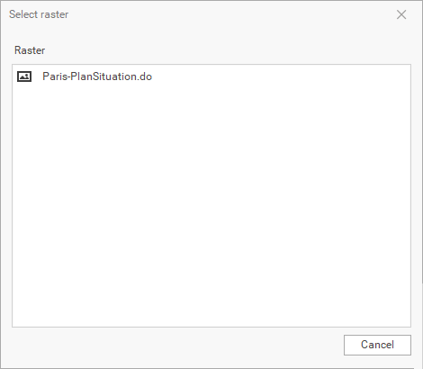
If no raster map has been imported previously, the software will prompt you to import the raster.
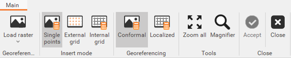
The command opens a window consisting of the following elements:
Main menu: includes commands in the workspace.
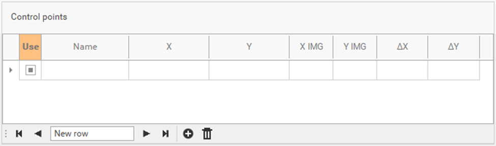
Control points' panel: allows to load and manage the control points of the image.
Graphic window: displays the loaded image and the grid.

Main menu
The menu shows the following commands:
Load raster: allows to load the raster image to georeference.
Single point: allowsto define control points manually one by one. See Single point.
External grid: this feature allows you to define external grid references and automatically calculate the map's external references based on the specified parameters. It is particularly useful for georeferencing raster maps that only use external grid references.
Using a wizard, you can insert control points by setting the reference step in meters and selecting the map's external references. Once the first pair of references is selected, the program calculates the approximate distance between them and zooms to the next reference position. See External grid.Internal grid: starts the procedure to define control points using the internal grid crossings. The command allows you to set the grid parameters in the Options panel on the right. This command is useful when you need to georeference a raster map that only has internal grid references. Similar to the 'External Grid' command, it requires the same settings. When inserting control points, you must use the internal references of the raster map. See Internal grid.
Conformal: applies a conformal or affine barycentric transformation when there are more than three control points
Localized: applies a localized transformation to control points, which is useful when the raster file originates from scanning a damaged physical medium
Zoom all: show the full view of the raster map.
Magnifier: activates the magnifier tool to magnify the view under the cursor position.
Accept: accepts control points, calculate and save the georeferenced raster map.
Close: closes the geo-referencing window.
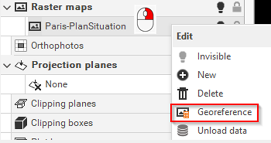
A raster image can also be georeferenced by right-clicking on the image in the Project Manager and selecting the Georeference option:
It is possible to change the visualization of the raster map, changing the Z value in the Properties, for example to display the measured data over the raster map.