
Lists of video tutorials dedicated on how to configure a coordinate system with X-PAD Ultimate software.
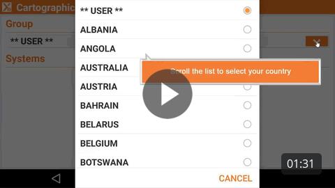
Predefined cartographic system How to select a predefined cartographic system. |
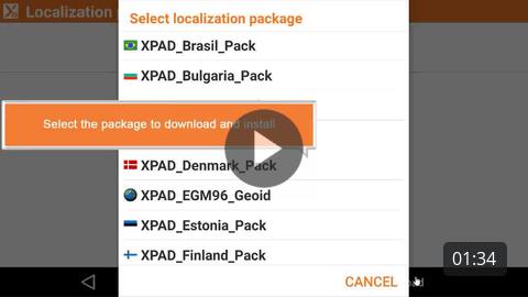
How to download a country package to access local grid files and geoids. |
How to perform a GNSS site calibration to calculate a local system using a set of known points. |
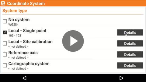
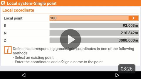
How to calculate a local system for GNSS localization using a single point. |
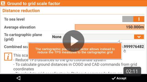
How to calculate and apply a ground to grid scale factor to reduce TPS distances to the cartographic system. |
|