
Lists of video tutorials on the main functions related to survey operations in the field with GNSS or TPS equipment.
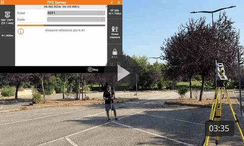
How to perform a survey using a total station. |
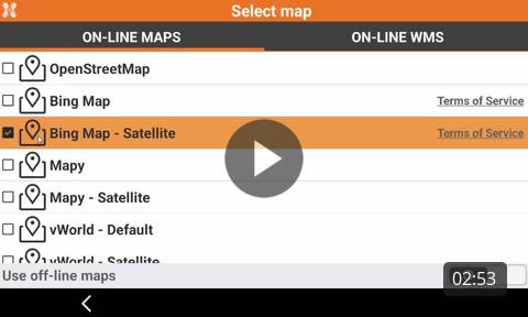
How to change the different working views in the survey page to work with maps or WMS in background. |
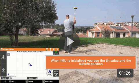
Surveying with GNSS receiver and IMU How to survey points with GNSS receivers with IMU to measure points with the pole tilted. |
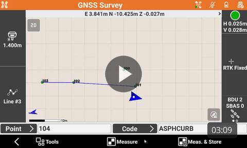
How to use linework functions to draw efficiently lines with coding. |
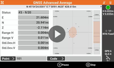
How to use the function Advanced average and analysis to measure control points with GNSS with advanced checks on accuracy. |
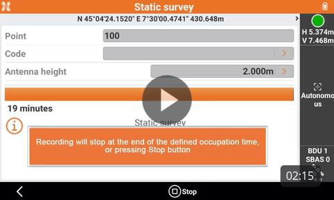
Static survey with GNSS receiver How to perform a survey with GNSS equipment. |
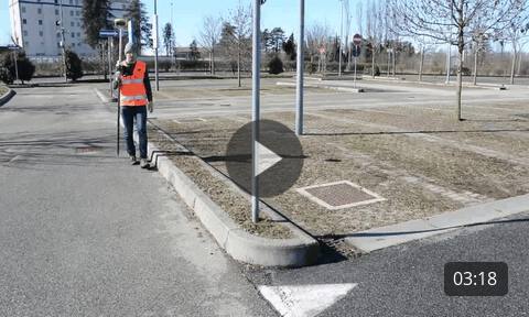
Drawing in the field with the smart drawing tools How to draw in the field using the Smart Drawing Tools. |
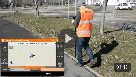
How to automatically measure points while walking, using different methods. |
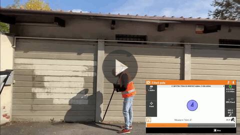
How to use the X-Tilt function to measure hidden points using any GNSS receivers or TPS with two measurements with the tilted pole. |
|