-
Points page shows the GNSS points available in the project with their type.
-
From Points page it is possible to export the calculated points to the Survey subproject in Fusion.
-
Click Points.

-
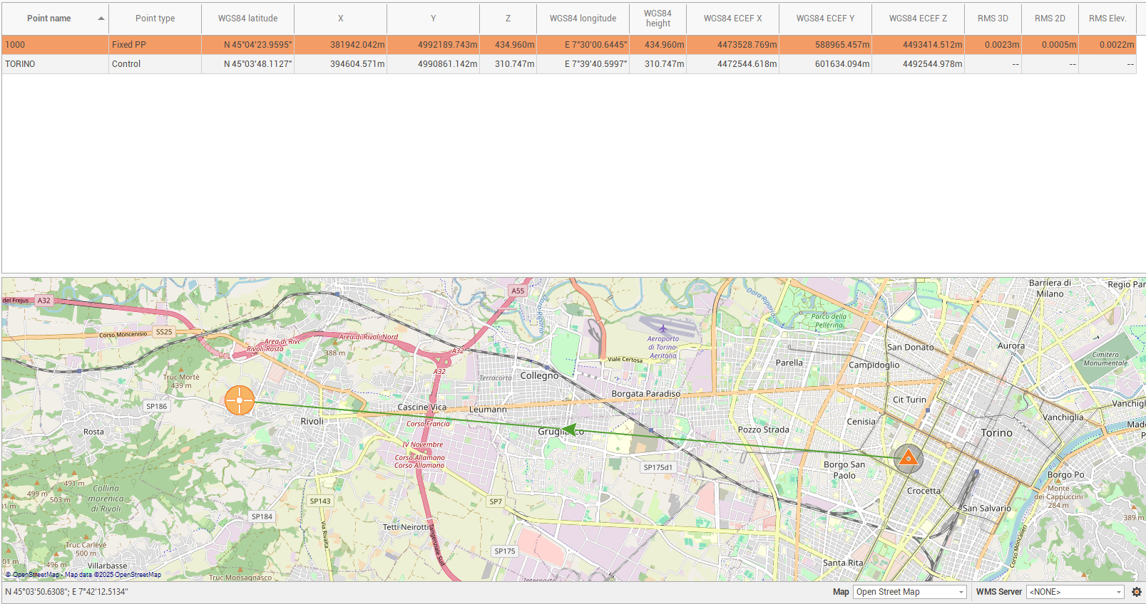
In the central panel the available points are listed.
-
In the map view the points are visualized on the map with a different icon depending on the point type.
-
The table shows the topographic points.
-
Point name: the name of the topographic point.
-
Point type: the type of the point:
-
Autonomous: the point status is navigated.
-
Control: the point status is control. The coordinate of the point is fixed.
-
Fixed PP: the point status is ambiguity fixed.
-
Float PP: the status of the point is float.
-
Adjusted: the point has been adjusted with network adjustment.
-
-
WGS84 latitude, longitude, height: the coordinate of the point as WGS84 latitude, longitude and height.
-
X,Y,Z: the coordinate of the point as X,Y,Z if a coordinate system has been assigned to the project.
-
WGS84 ECEF X,Y,Z: the geocentric coordinate of the point.
-
RMS 3D: the root mean square error of the point in 3D.
-
RMS 2D: the root mean square error of the point in 2D.
-
RMS Elevation: the root mean square error of the point in elevation.
-
-
To delete an existing point click on Delete or select Delete from the context menu of the point.

Point averaged
-
When GNSS raw data is post-processed, final point coordinates can be computed using different correction methods, such as PPP or standard RTK or from multiple reference stations.
-
The software performs automatic averaging based on internal rules related to source accuracy and other factors.
-
This averaging calculation can be overwritten, allowing users to include or exclude individual data sources.
-
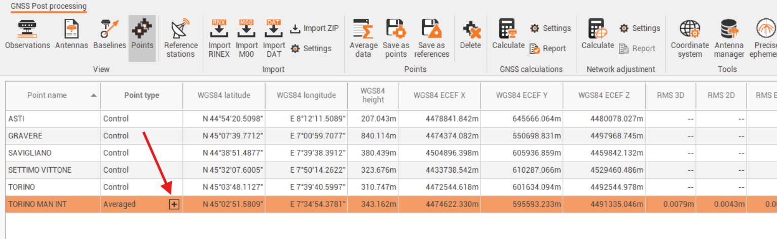
To open the Averaged data panel selected an Averaged point from the Points page and click +.
-
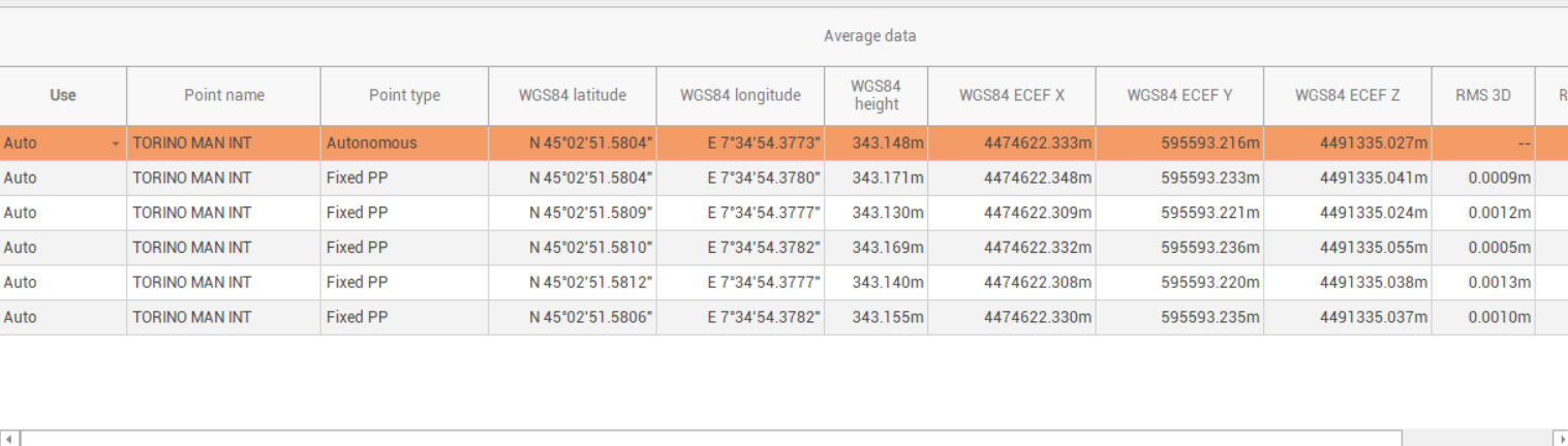
The Averaged data panel lists all contributing points and provides control over which ones are used in the final calculation.
-
Change the value in Use to select if a point is used or not for the final coordinate calculation.
Save the points and baselines to a Survey subproject
-
To save and export a point to a Survey subproject, in order to be used in other calculations:
-
Select from the list of points the points to save and export.
-
Click on Save as points.

-
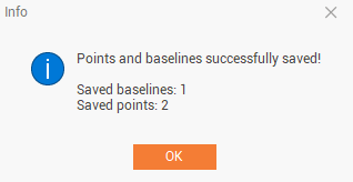
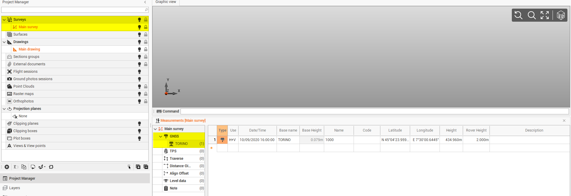
The points are saved in the current Survey subproject and can be used for additional calculations.
-
Click Saves as reference to save selected points in the current Survey subproject as reference points.