-
Reference stations page allows to automatically import raw data from reference station from different services.
-
Click Reference stations.

-
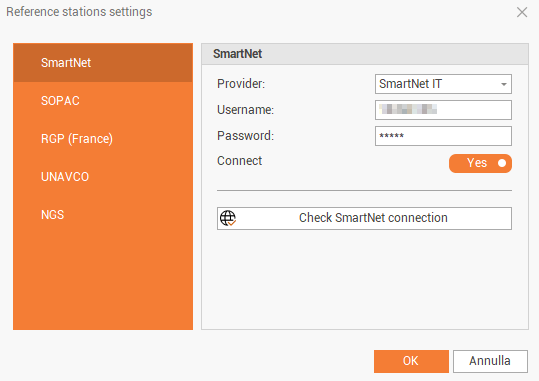
Click on Settings to configure from which reference stations network download the raw data.

-
The command opens a new window.
-
The available services are:
-
SmartNet: CORS network from Hexagon covering several countries worldwide. In the Provider field choose the country where to connect. Requires a subscription and to enter the Username and Password. https://hxgnsmartnet.com
-
RGP (France): ftp://rgpdata.ign.fr/pub/data/
-
Ordnance Survey (UK): downloads raw data from Ordnance Survey network in UK. Requires to have an account to generate a token used for the download. For more information on how to generate a Token see the guide.
-
-
Connect: enables/disables the connection to the data for each provider.
-
After the connection is done to selected providers, the main panel shows the list of providers close to survey position.

-
Description: the reference station name.
-
Name: the ID of the reference station.
-
Distance: the distance of the reference station from the survey area.
-
Latitude, Longitude, Height: the coordinate of the reference station.
-
Provider: the provider of the reference station.
-
Sampling rate: the sampling rate of the raw data from reference station.
-
Satellite system: the satellite systems available from the reference station.
-
Receiver name: the name of the GNSS receiver of the reference station.
-
Antenna name: the name of the GNSS antenna of the reference station.
-
-
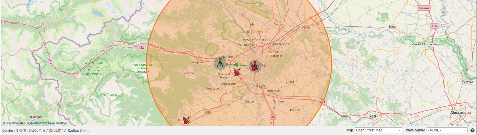
The map view shows on the map the position of the reference stations within a circle.
-
It is possible to move the circle or increase/reduce the radius dragging the circle circumference.
-
Select from the list the reference station from which to download the raw data.
-
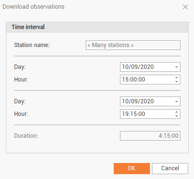
Click Download to automatically download the raw data in the interval we need to match rover intervals.