Topographic points
 |
|  |
| 
Topographic points are all positions characterized by a name and having specific extra features.
Topographic points can come from:
Direct measurement.
Manual input.
Importing of external files.
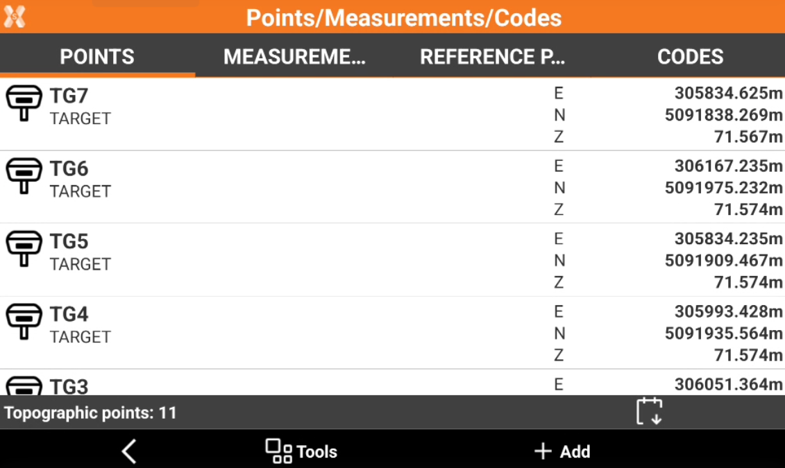
A table shows the list of all topographic points present in the job. Points are listed according to inserting order, so at first place you find the last point inserted. An icon represents the origin of the point, the name, the code and the coordinates. Select a point for specific operations.
To open the Points page click Job.
Click Points/Measurements/Codes.
Open the Points tab.
Create a point: how to create a new point in the point list.
Import points from an external file: how to import topographic points from an external file.
Edit a point: edit the point attributes.
Delete a point: delete a point from the point list.
Visualize a point in CAD: how to visualize a point location in the software CAD.
Stakeout a point from points list: how to stakeout a point from the point list.
Share a point: share to other applications the point information.
Selection rules for points: how to select multiple points using the selection rules.
Change points visualization: how to change the visualization of the points.
Search point: how to search for a point.
Edit points elevations: how to edit the elevation of points.
Invert coordinates: how to invert the coordinates of points.
Reset stakeout state: how to reset the stakeout state of points that was stakeout.
Move points to reference point list: how to transfer points from the topographic point list to the reference point list.
Import and export points to different jobs: how to import and export points from other jobs.
Diagram of distance and elevation: how to display points on a diagram of distance and elevation.
Change the visualization order: how to change the visualization order of the points.