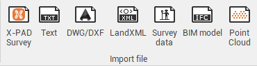
Import data
The program makes available specific controls for the data imports. The program can manage both the importation of generic drawing data but also of topographical data from different instrumentation, point clouds and different exchange formats dedicated to the branch of topography.