Survey - GNSS
 |
|  |
| 
This chapter explains commands allowing measuring of points with GNSS instruments. Different operative modes are explained.
Commands for measuring points are available when the GPS instrument is in rover mode.
For common operations when working with a GNSS or a total station refer to Survey points.
GNSS Survey interface: understanding the graphic interface.
Rapid measure of a GNSS point: how to measure and store a point.
Measure of a GNSS point: how to measure and store a point editing the properties.
Recording of raw data during the survey: how to record the raw data during the survey for kinematic or stop&go processing.
GNSS measure mode: understanding the different measure modes with a GNSS receiver.
Automatic GNSS survey of point: how to measure automatically points according to the selected rule.
Static survey of points: how to perform a static survey recording the raw data.
Advanced average and analysis: understanding the function to measure repeatedly re-initializing the ambiguity calculation and analyzing the results.
Survey with cable locators: how to work with cable locators and GNSS receiver.
Video tutorials | |
|---|---|
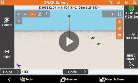 Survey with GNSS interface and basic commands First steps on how to perform a survey using GNSS equipment. | 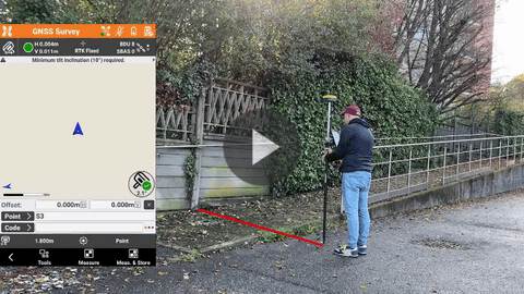 Measure points by pole offset with IMU How to measure hidden points with GNSS with IMU using the function by pole offset. |
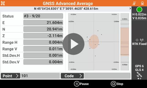 How to use the function Advanced average and analysis to measure control points with GNSS with advanced checks on accuracy. | 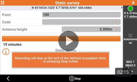 Static survey with GNSS receiver How to perform a survey with GNSS equipment. |
Webinars | |
 Locators how to use them & X PAD locators module (2024-2-11) How to work with GeoMax cable locators and the X-PAD locator optional module. |  (2029-8-3) Webinar on how to work with GNSS receiver with X- PAD field software. |
 Mixed Surveying GNSS and Total Station EN (2020-05-11) Mixing GNSS and TPS measurements in X-PAD Ultimate field software. |  Surveying and drawing in the field with X PAD Ultimate (2020-06-11) Surveying and drawing with X-PAD Ultimate in the field |