Tools and utilities
 |
|  |
| 
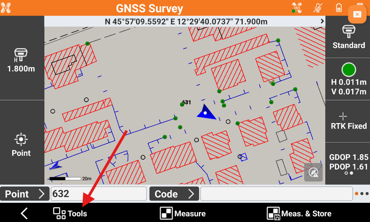
In the survey window, different tools and functions are available that can be very useful during measuring operations.
To open the Tools click on Tools button.
Edit last point
The command allows to edit the last measured point.
Click Tools.
Click Edit last point.
The measure page is opened to edit the point measured.
Delete last point
The command allows to delete the last measurement.
Click Tools.
Click Delete last point and confirm.
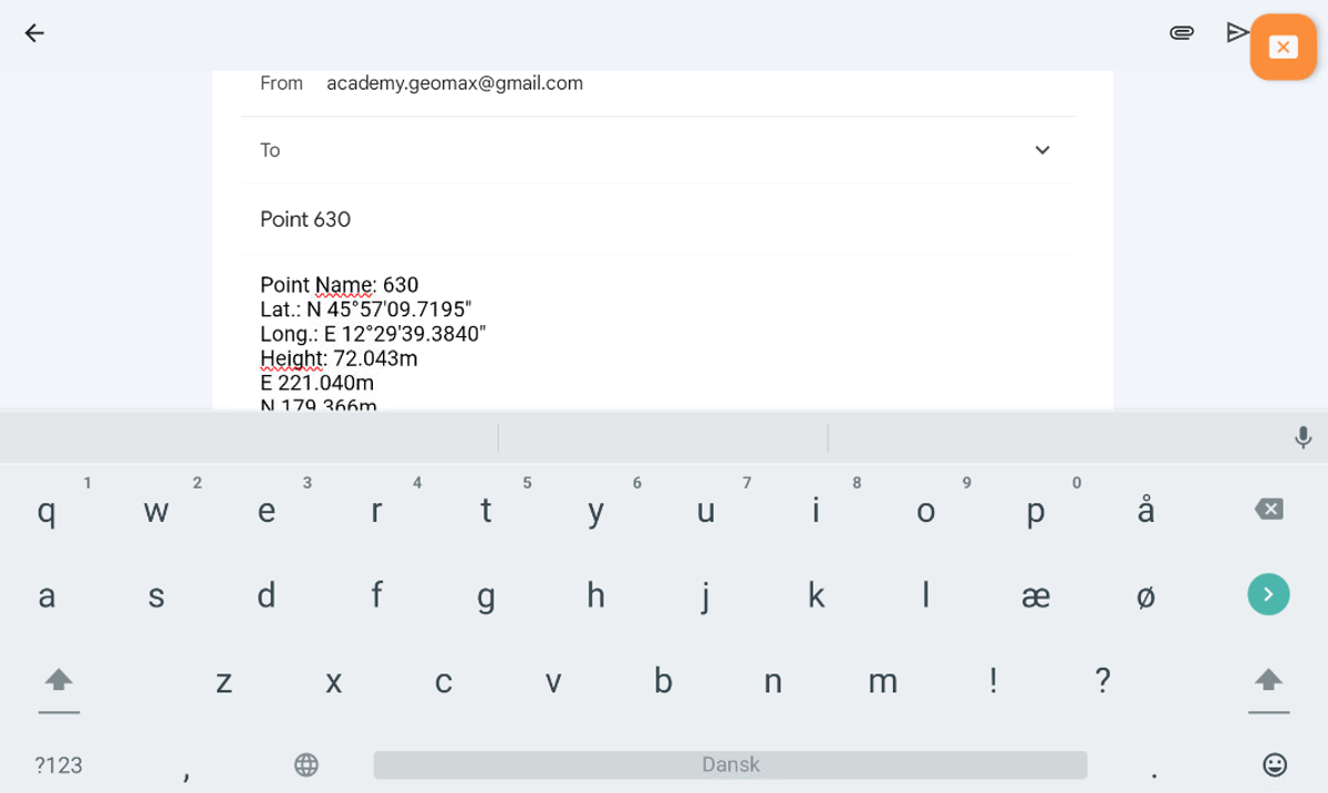
Share last point
The command allows to share the last measured point.
Click Tools.
Click Share last point and confirm.
Select the sharing method and complete the procedure.
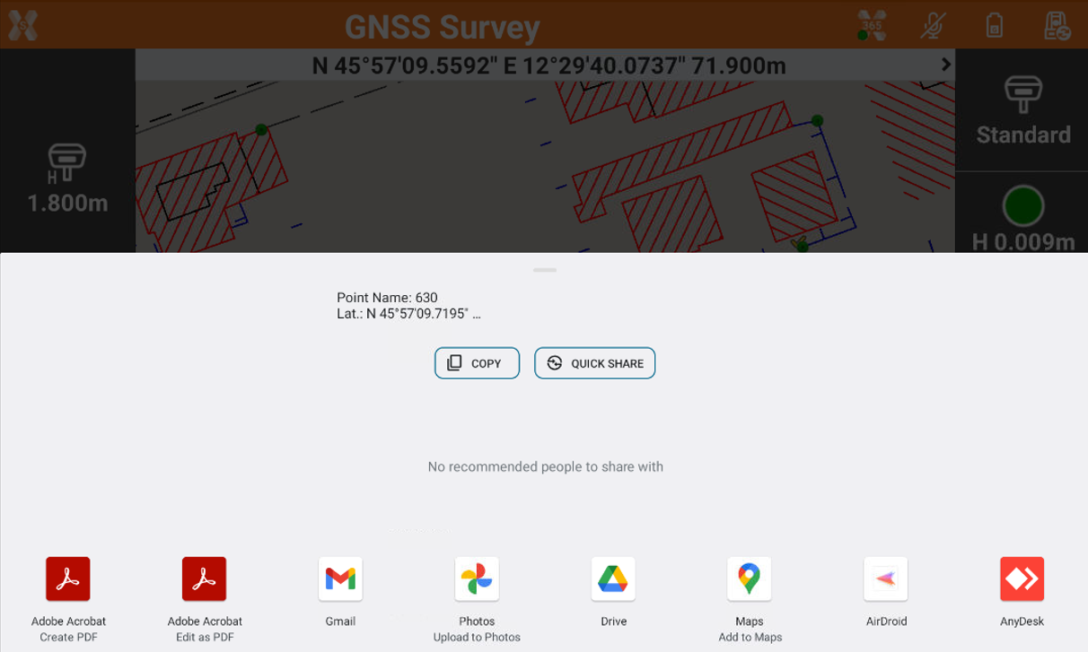
For the selected point information related to coordinates (geographic and plane), the code, the description and the eventual photo/sketch associated is sent.
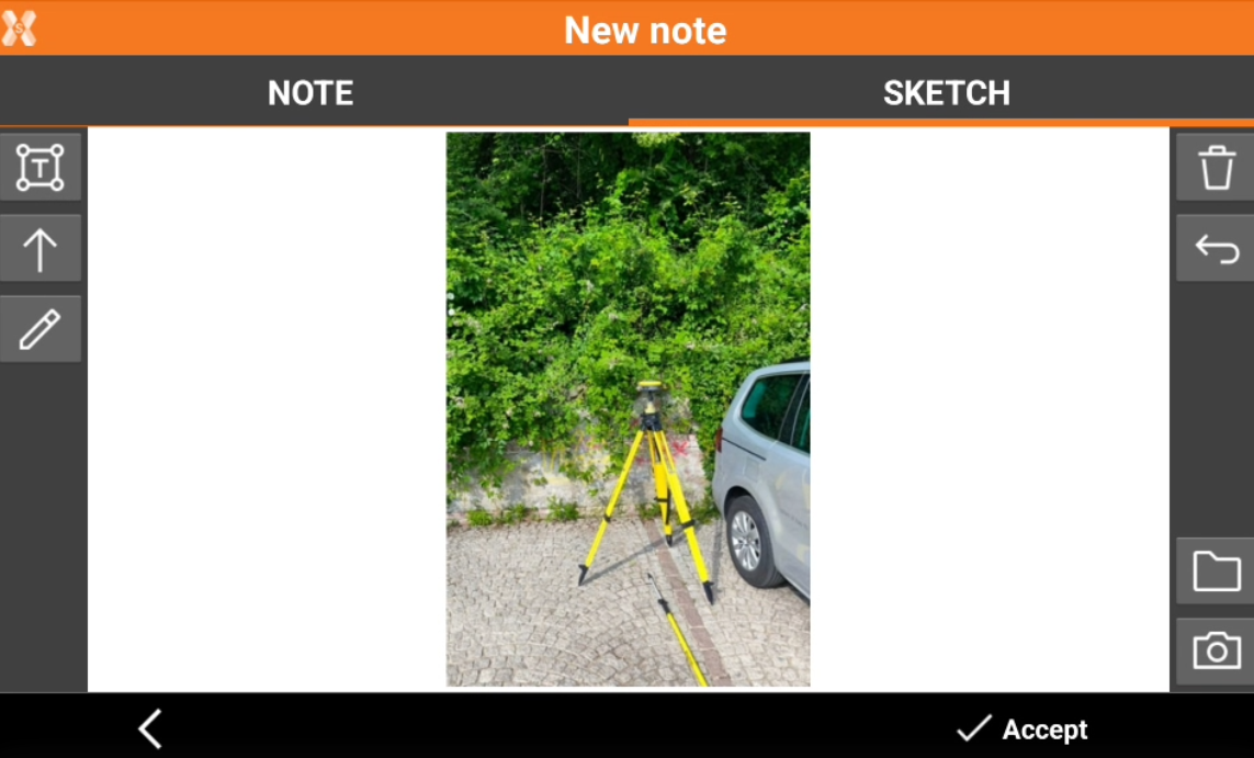
Add a note
The command allows to add to the fieldbook free notes.
Click Tools.
Click Add note.
This opens the New note page.
The Note page allows to add a descriptive text.
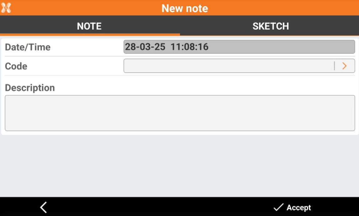
The Sketch page allows add a sketch or photo to the note.
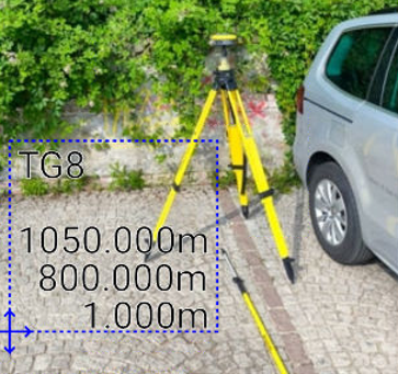
: creates a text box with point name, coordinates and codes on the picture. Select
and drag to move the text box.
: creates a text box with free text. Select
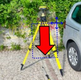
: creates an arrow. Select
to rotate the arrow.
: enables the free drawing mode.
: deletes sketch and photo.
: restores original content
: loads a photo from the controller internal memory. The image must be in the Images folder and has to be in .jpg or .jpeg format.
: starts the application allowing to shoot a photo and save it.
Points and measurements
The command allows to open the Points and Measurements table.
Click Tools.
Click Points & Measurements.
Open survey settings
The command allows to open the GNSS Setting page or TPS Setting page, depending on selected instrument.
Click Tools.
Click Survey setup.
COGO Inverse
COGO Inverse is useful function to calculate information between two different points.
The function can be quickly opened from the Survey page.
Click Tools.
Click COGO Inverse to open the relative COGO function.
Start log
The function allows to start to record raw data using a GNSS receiver.
X-PAD 365 - Collaborative survey
The function allows to open the X-PAD 365 collaborative survey.
Requires a X- PAD 365 Professional or Enterprise account
See Collaborative Survey for more information.