
-
Shows/hides an online WMS (Web Map Service) where CAD entities can be overlaid.
-
WMS is an acronym for Web Map Services, a standard protocol for sharing 2D maps online. This technology is used globally and has been around for many years.
-
Governments and municipalities often utilize WMS to share public information.
Create a WMS (Web Map Service)
-
Click on the Settings icon to open the list of WMS

-
Click on Edit, then Add to create a new WMS server.
-
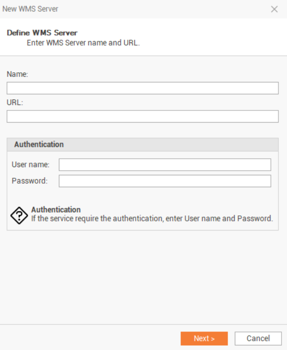
Enter the name and the URL of the WMS server. If required, also enter the Username and the Password.
-
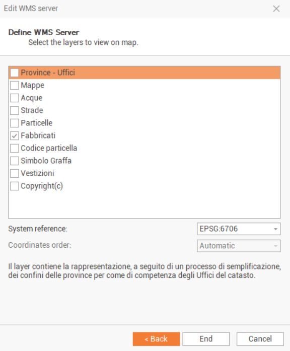
If the login information are correct, select the layers to display and the correct reference System (in general it is EPSG:4326, WGS84).
-
Click on End to save the WMS. The newly created WMS can now be selected from the WMS Server drop-down list.
Display a WMS
-
Click on View.
-
Click on the Web Map icon to display the web map view, as a second view in the CAD.

-
The measured points, with valid WGS84 coordinates, are displayed over the map.
-
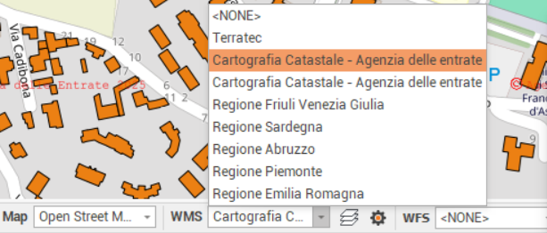
Click on the Map drop-down menu to choose a WMS from the list of available WMS.
-
The WMS is visualized on the web map.
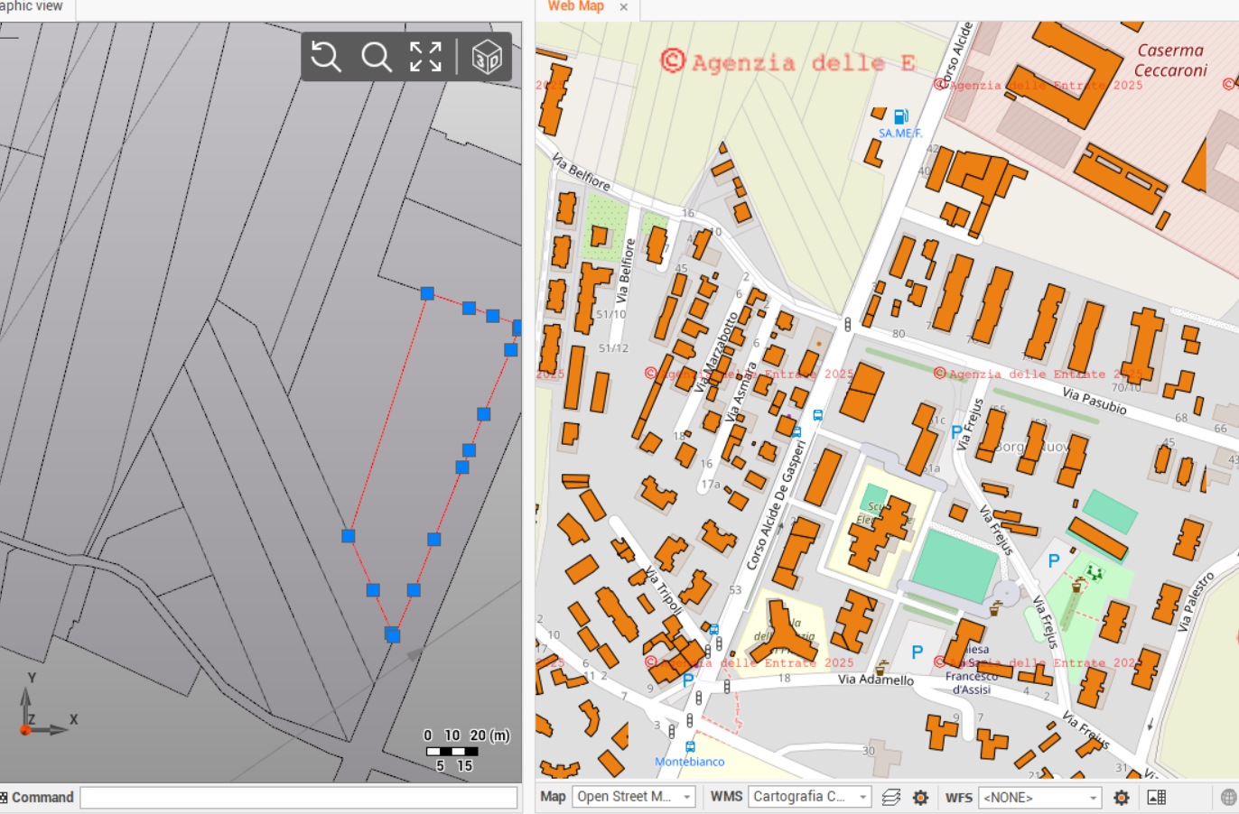
If the WMS is not visualized, try to change the zoom level.