-
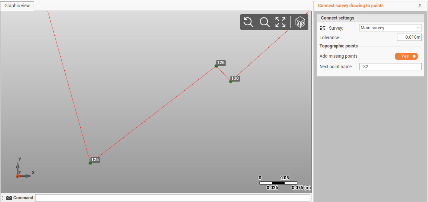
The function Connect survey drawing to points allows to connect a survey drawing to existing topographic points and create the missing points.
The function connects a survey drawing to points. Check that the drawing is a survey drawing and not a drawing. A drawing can be converted to survey drawing with Transform drawing in survey function.
-
Click Survey.
-
Click Tools.
-
Select Connect survey drawing to points.
-
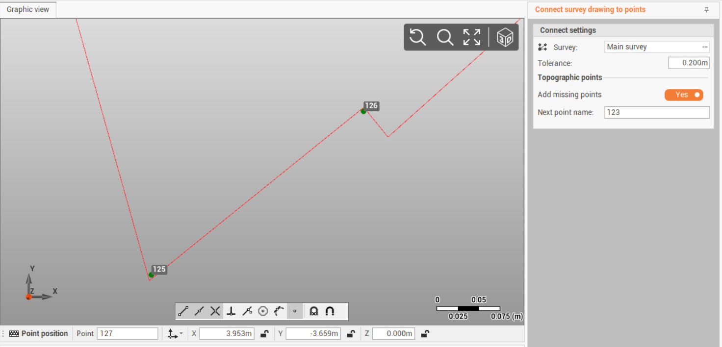
Enter in the right bar the parameters.
-
Survey: select the survey subproject where there are topographic points and survey drawing to connect.
-
Tolerance: survey drawing is connected to points if the distance is below this tolerance.
-
Add missing points: enables the creation of missing topogrpahic points on survey drawing main positions.
-
Next point name: if Add missing points is enabled, defines the name of the points that will be created.
-
-
Click Apply.