
Point’s elevation from references utility calculates elevation of selected points from reference elements as 2 points, 3 points, line or triangle.
-
Click Survey.
-
Click Tools to open the menu.

-
Click Point’s elevation from references.
-
Click on the bottom CAD bar to get elevation from:

-
Line: the elevation to assign to points is calculated from a reference line.
-
2 points: the elevation to assign to points is calculated from a reference line passing through 2 reference points.
-
3 points: the elevation to assign to points is calculated from a plane passing through 3 reference points.
-
Triangle: the elevation to assign to points is calculated from a surface triangle.
-
Elevation from line
-
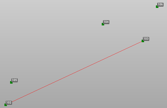
Select the reference line in CAD. In this example starting point of the line (102) has elevation 0.000 mt and ending point of the line (103) has elevation 2.000 mt.
-
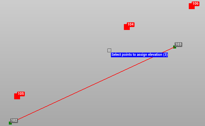
Select the points to assign the elevation.
-
In this example 105 will have elevation 0.193mt, 104 will have elevation 1.615mt and 106 will have elevation 2.362mt.
Elevation from 2 points
-
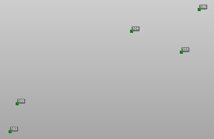
Select the 2 points in CAD. In this example we select 102 (elevation 0.000 mt) and 103 (elevation 2.000 mt).
-
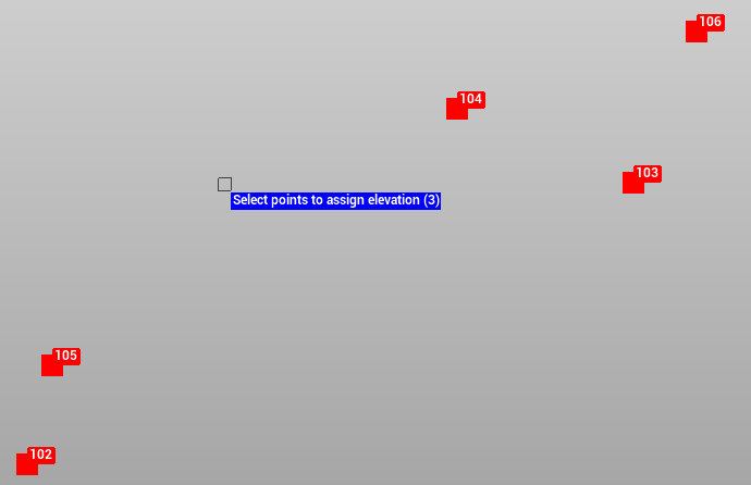
Select the points to assign the elevation.
-
In this example 105 will have elevation 0.193mt, 104 will have elevation 1.615mt and 106 will have elevation 2.362mt.
Elevation from 3 points
-
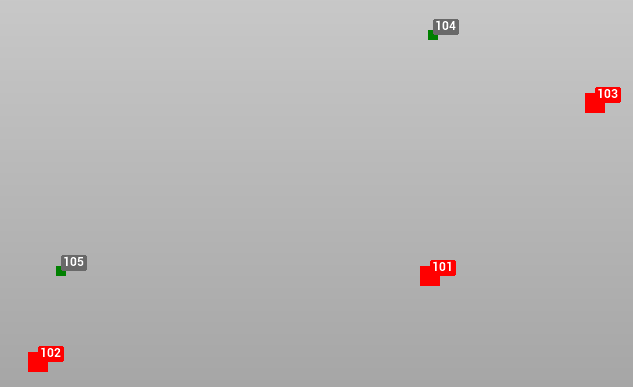
Select the 3 points in CAD. In this example we select 102 (elevation 0.000 mt), 103 (elevation 2.000 mt) and 101 (elevation 1.500 mt).
-
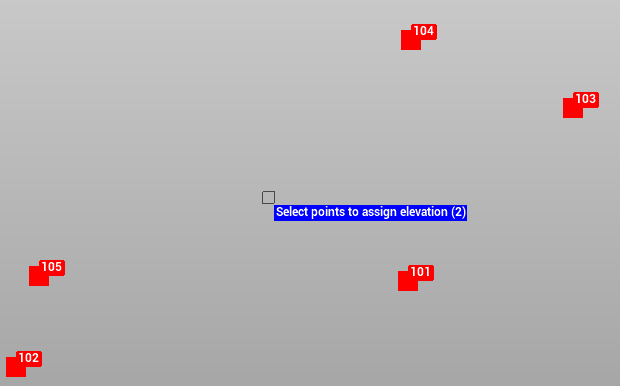
Select the points to assign the elevation. The elevation is calculated referring to the plane passing through the 3 reference points.
-
In this example 105 will have elevation 0.006mt, 104 will have elevation 1.281mt.
Elevation from triangle
-
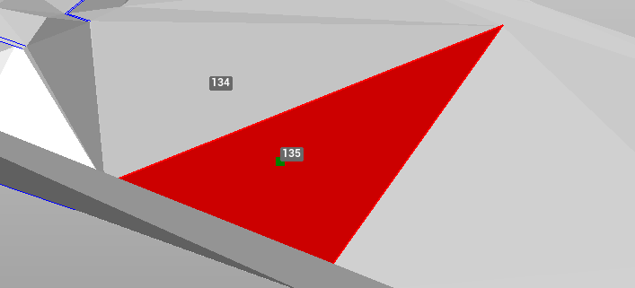
Select the a reference surface triangle.
-
Select the points to assign the elevation. The elevation is calculated referring to the plane passing through the selected triangle.