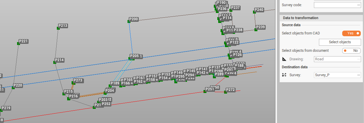
Transform drawing in survey transforms selected drawing objects in survey objects and creates new topographic points in the main positions.
The main difference is that a survey line is connected to topographic points: if the topographic points undergo a transformation or in general move, the line follows the points.
-
Click Survey.
-
Click Tools to open the menu.

-
Click Transform drawing in survey.
-
The command opens a new panel.
-
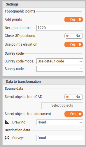
In Settings it is possible to define the parameters for the transformation:
-
Add points: to enable/disable the creation of topographic point on the drawing main position. The command checks if the drawing entity corresponds to existing topographic points. Basically it checks if a point already exists at the end of a drawing line. If it doesn't exist it is created, if it does the resulting relief line is snapped to that point.
-
Next point name: if Add points is enabled, this field is used to define the point names.
-
Check 3D positions: enables the verification if a topographic point exists before creating it in 3D and not only in 2D.
-
Use point’s elevation: the elevation of the topographic point is calculated from the drawing.
-
Survey code mode: select how to define the survey code of created points:
-
No code: no survey code is used.
-
Use default code: to assign to all points the same survey code, that is defined in Survey code field.
-
Use layer name: to assign to points the survey code taken from the drawing layer name.
-
-
-
In Data to tansformation it is defined the source data and destination for the drawing data to transform:
-
Select objects from CAD: to enable/disable the selection of drawing data graphically from CAD.
-
Select objects from document: to transform all data from selected Drawing subproject.
-
Drawing: if Select objects from document is enabled, select here the Drawing subproject.
-
Survey: the Survey subproject where the transformed data is created.
-
Transform drawing in survey step-by-step
-
Open the utility Transform drawing in survey.
-
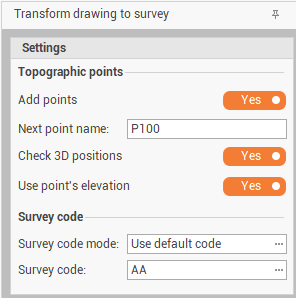
Enter the transformation parameter.
-
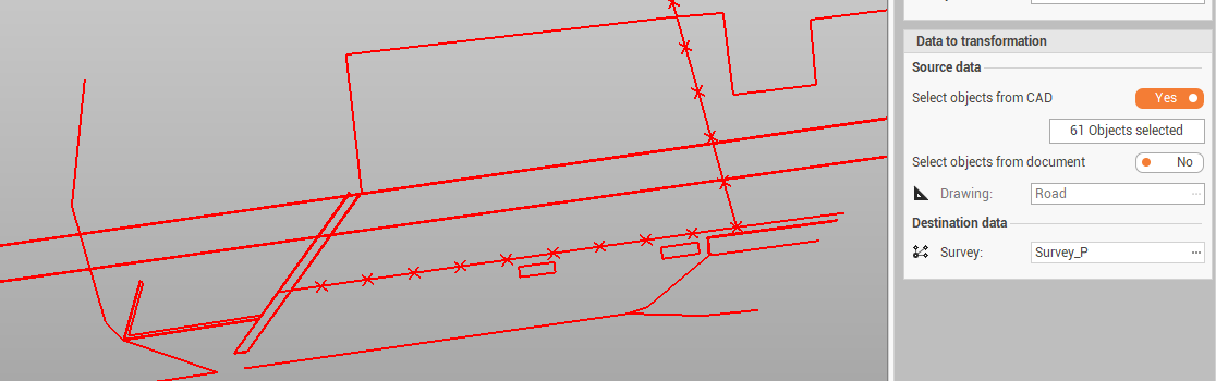
Select the data to transform from CAD or an entire Drawing subproject and the Survey subproject destination.
-
Click Apply to transform the objects.