-
Raster maps subprojects contain image attachments linked to the project.
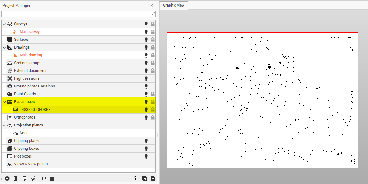
-
Right-click on a subproject to access the local menu.
-
Visible/Invisible: hides or displays all entities of a subproject and all subprojects of a category.
-
New: creates a subproject of the selected type.
-
Delete: deletes the subproject and all related data. An active subproject cannot be deleted.
-
Georeference: starts the routine to georeference the selected raster map.
-
Unload: unloads the data from memory.
-
