
-
Survey subprojects contain data imported from:
-
GNSS instruments.
-
TPS instruments.
-
Digital level.
-
Topographic points.
-
Parcels.
-
Any tables associated with the data.
-
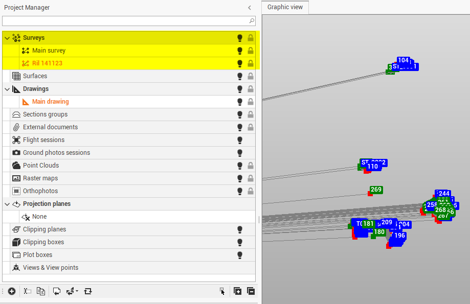
-
Entered or imported data of these types are saved automatically to a survey subproject.
-
Right-click on a subproject to access the local menu.
-
Visible/Invisible: hides or displays all entities of a subproject and all subprojects of a category.
-
New subproject: creates a subproject of the selected type.
-
Rename: changes the name of the subproject.
-
Duplicate: creates a copy of the entire subproject.
-
Delete: deletes the subproject and all related data. An active subproject cannot be deleted.
-
Topographic points' table: accesses the topographic points table of the subproject.
-
Measurements' table: accesses the measurements table of the subproject.
-
Calculate survey: accesses the survey calculation setting window.
-
Settings: accesses the subprojects settings.
-
Zoom fit: adjusts the zoom level to the selected survey subproject.
-
-
To Assign a unique color to the subproject, to distinguish elements of a specific subproject when different subprojects of the same category exist:
-
Tap on local menu.
-
Click Settings.
-
Click Survey properties tab.
-
Apply the colour. An icon indicates the colour of the subproject
-