

-
Photographic survey function allows to create a sessions of photos that can be later processed with a photogrammetric office software to generate a point cloud and a mesh.
-
For more information on how to process the photos with Fusion refer to Ground photo processing.
-
This function allows in the field to take photos for photogrammetric processing and measure with instrument control points that can be used for georeferencing the point cloud.
-
Data can then be easily exported using the X-PAD Exchange format to Fusion.
-
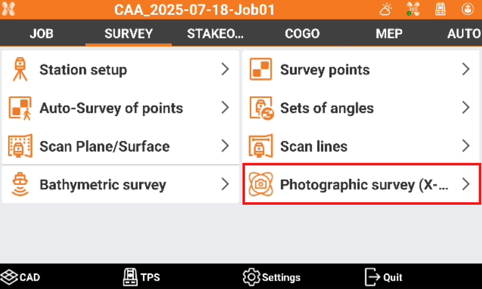
Click Survey.
-
Click Photographic survey.
-
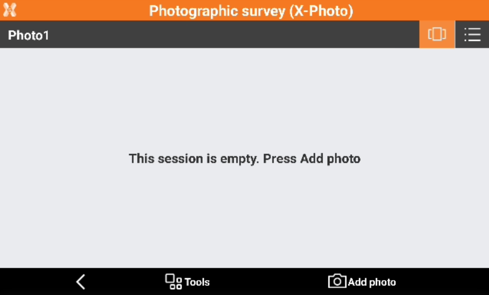
Click Add to create a new session of photos and enter the session name.
-
The session is initially empty.
-
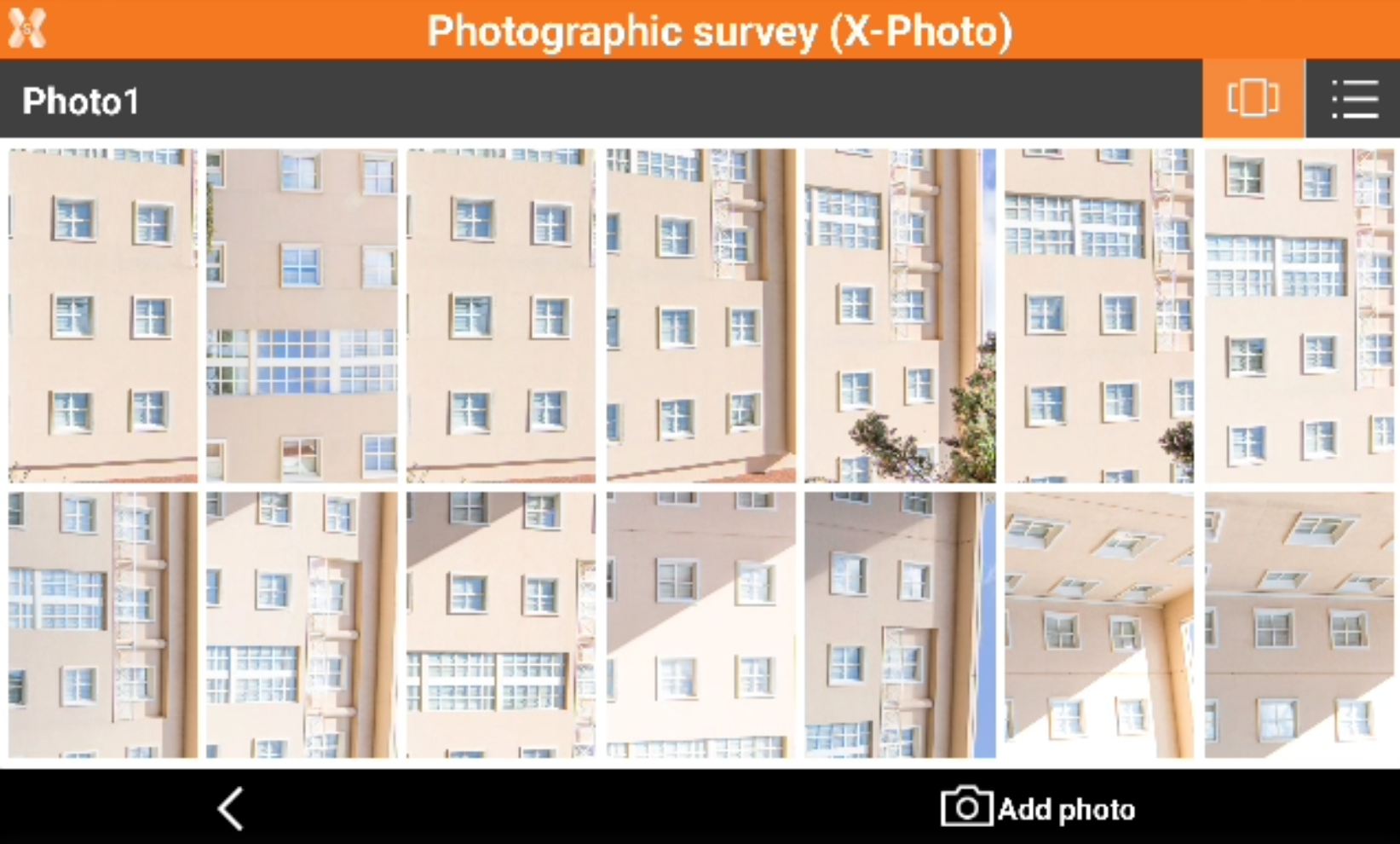
Click Add photo to load new photos to the session, loading the photos from the gallery or taking new photos.
-
When all photos have been loaded click Back.
-
To export the photographic survey data open Job page and select Export & Share.
-
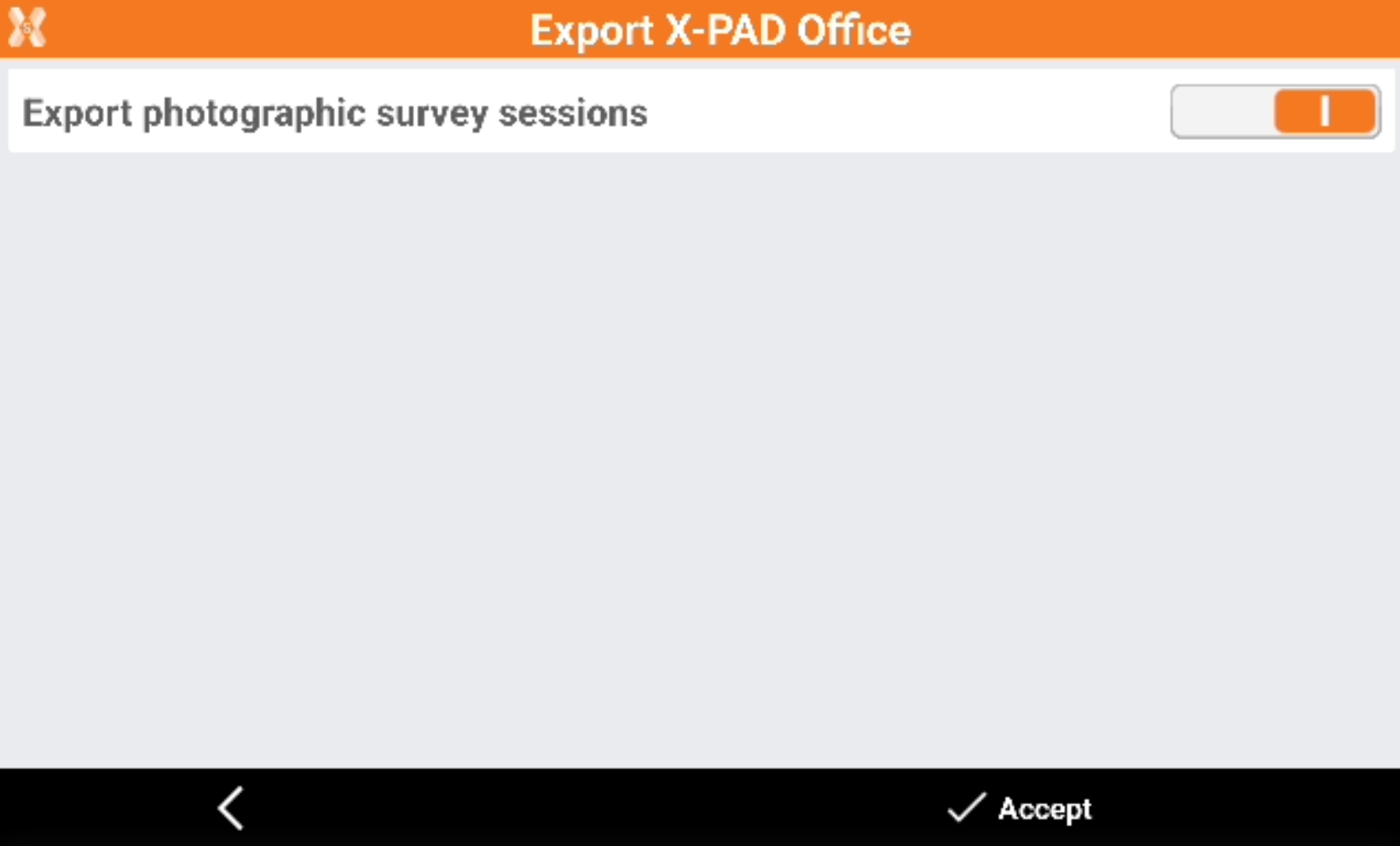
Select X-PAD Exchange format.
-
Select to export the photographic sessions and select Accept.
-
This creates a file with extension .xpad containing the survey data and the photographic survey data that can be imported in Fusion.
-
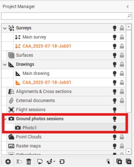
Importing this file in Fusion creates automatically a Ground photos sessions with all photo loaded.
-
Refer to Ground photo processingon how to process the photos.
