



-
This chapter describes the data present in the job and how to view/edit the data.
-
Topographic points, reference points, measurements and codes are accessible from the Job page clicking Points, Measurements and Codes.
In
-
Topographic points: the list of topographic points measured, imported or calculated in the job.
-
Measurements: the list of raw measurements taken with the topographic instruments.
-
Reference points: the list of reference points.
-
Survey codes: how to create and edit codes and work with codes libraries.
-
GIS manager: how to create GIS features.
|
Video tutorials |
|
|---|---|
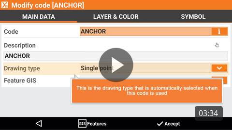
How to use and create a codes library in the software. |
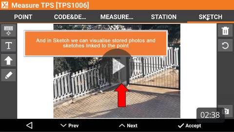
How to open and visualize the measurements table with list of instrument measurements. |
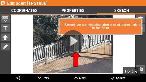
How to open and visualize the points list with list of imported and measured topographic points. |
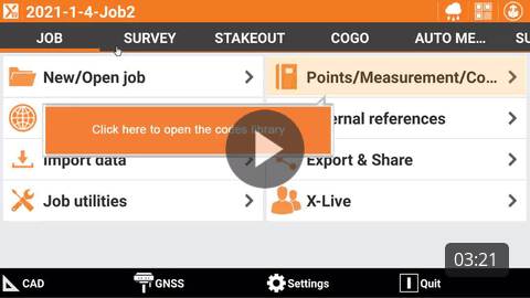
How to create a new codes library. |
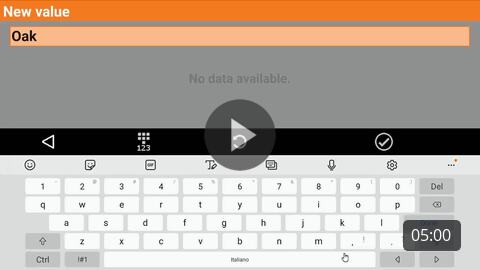
How to open the use the GIS features table. |
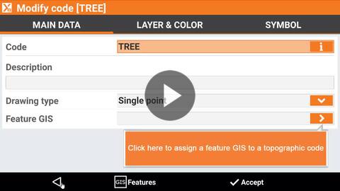
How to use the GIS features in combination with the codes. |
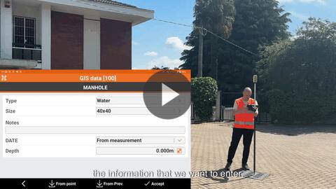
How to use measured GIS attributes to enter attribute value with an instrument measure |
|
|
Webinars |
|
Understanding GIS Module in X PAD Ultimate (2024-4-11) Webinar on how to use the GIS module: define and apply features, survey with GIS attributes and export them as shape file or in other formats. |

Coding and Surveying in X PAD Ultimate (2023-6-22) Webinar on how to work with codes and codes library. |