



-
COGO (Coordinate Geometry) commands allow to perform different operations directly in the field with GNSS and TPS instruments.
-
For example:
-
Creating points according to different methods.
-
Get information related to positions of the points such as distances or angles.
-
Get information related to the current position of the receiver.
-
In
-
Inverse: to quickly calculate distance and other information between two points.
-
Distance: calculates the distance and other information from different entities.
-
Reference line: calculates the distance and other information from a reference line and the current position.
-
Alignment & offset: calculates a coordinate along a reference element at certain distance and offset.
-
Intersection: calculates a coordinate on an intersection using different methods.
-
Area subdivision: allows to divide an area according to different rules.
-
Grid of points: allows to create a grid of points inside a defined boundary.
-
Check planes: how to check horizontal, vertical and sloped planes.
-
Area & Length: calculates areas and perimeters.
-
Move, Rotate & Scale: how to use the function to manually or by common points transform points and drawings.
-
Point average: how to calculate the average between different coordinates.
-
BIM surface: how to stakeout BIM models.
-
Traverse calculation: how to perform a traverse calculation in the field and adjust the stations.
|
Video tutorials |
|
|---|---|
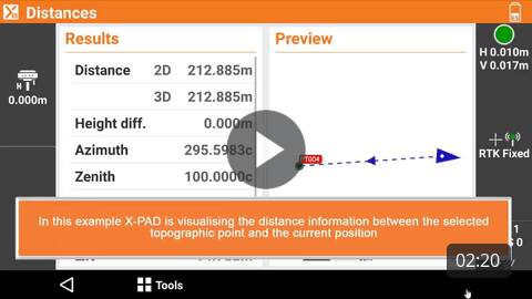
How to use the Distances functions to quickly calculate distance, azimuth and other information between two coordinates. |
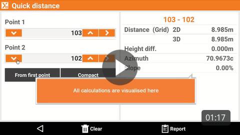
How to use the quick distance function to report distance and other information between coordinates. |
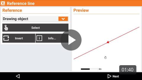
How to use the reference line function to stakeout using lines and arcs as reference. |
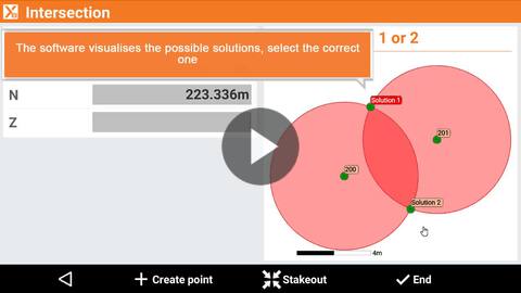
How to calculate new coordinates using different intersection methods. |
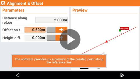
How to calculate new coordinates using an alignment and an offset. |
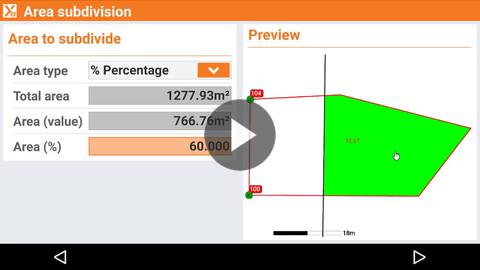
How to use the area subdivision function to divide a closed area or parcel using different rules. |
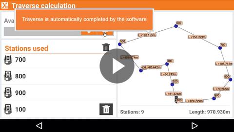
How to calculate a traverse and generate a report. |
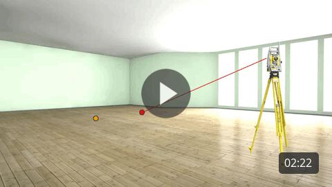
How to use the function check planes to verify an horizontal, sloped or vertical plane using GNSS or TPS. |
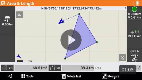
How to use the function area and lenght to quickly measure and calculate an area and perimeter. |
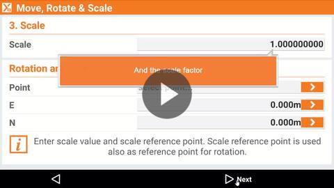
Move Rotate Scale manual entry How to use the move, rotate and scale function to edit data entering the amount of shift, rotation and scale to apply. |
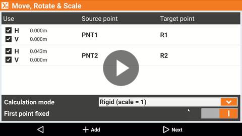
Move rotate scale align points How to use the move, rotate and scale function to edit data entering source and target points. |
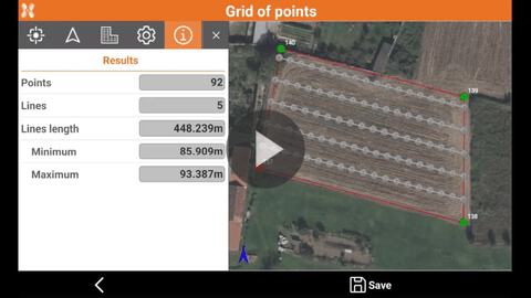
How to use the function grid of points to create a grid of points inside a closed polyline |
|
Webinars |
|
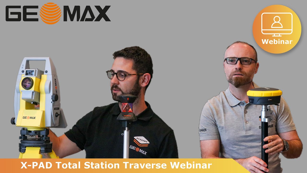
(2022-06-20) Webinar on how to perform and calculate a TPS traverse. |
|