



-
This chapter explains the commands and functions that are available in point survey with GPS and total stations.
-
Since some operations are identical if working with a GNSS receiver or a total station, these are explained in this chapter.
-
There is a dedicated chapter regarding the survey functions with a GNSS receiver and the survey functions with a total station.
-
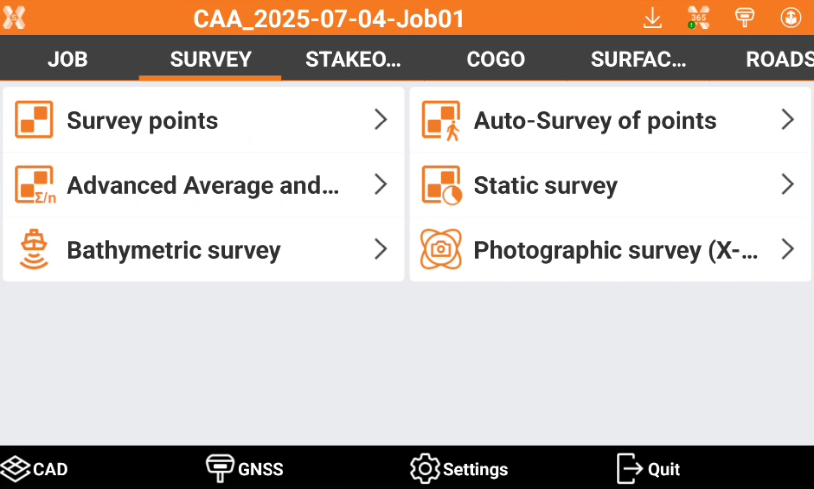
To access the Survey points functions open the Survey tab.
-
Survey graphic view: understanding how to change the visualization option and manage the view during the survey.
-
Survey code assignment: how to assign a survey code during the survey.
-
Quick codes: how to create quick codes tables with the most used codes.
-
GIS features: how to assign GIS attributes during the survey.
-
Smart Drawing: how to draw during the survey.
-
Average coordinates: how to average a coordinate measuring it multiple times.
-
Tools and utilities: understanding the different utilities in the survey page.
|
Video tutorials |
|
|---|---|
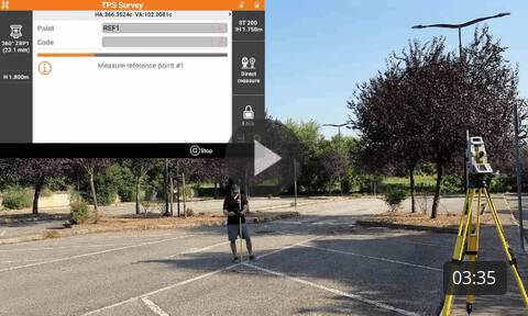
How to perform a survey using a total station. |
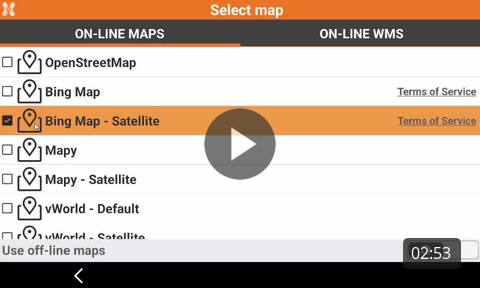
How to change the different working views in the survey page to work with maps or WMS in background. |
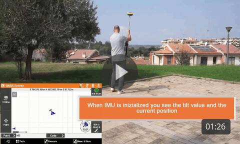
Surveying with GNSS receiver and IMU How to survey points with GNSS receivers with IMU to measure points with the pole tilted. |
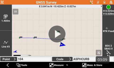
How to use linework functions to draw efficiently lines with coding. |
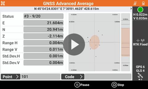
How to use the function Advanced average and analysis to measure control points with GNSS with advanced checks on accuracy. |
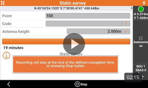
Static survey with GNSS receiver How to perform a survey with GNSS equipment. |
Drawing in the field with the smart drawing tools How to draw in the field using the Smart Drawing Tools. |
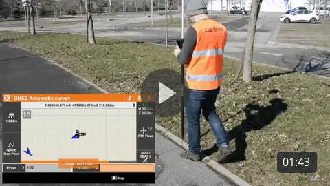
How to automatically measure points while walking, using different methods. |
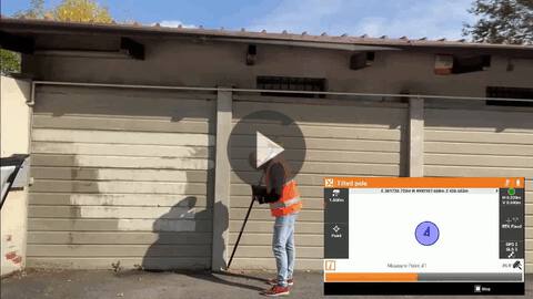
How to use the X-Tilt function to measure hidden points using any GNSS receivers or TPS with two measurements with the tilted pole. |
|
|
Webinars |
|
Surveying and drawing in the field with X PAD Ultimate (2020-06-11) Surveying and drawing with X-PAD Ultimate in the field |
|