



-
The coordinate system allows the definition of parameters and methods for the calculation including for the transformation of the geographic coordinates obtained from GNSS instruments.
Modification of the coordinate systems parameters causes an automatic recalculation of the coordinates of the GNSS points in a job. In this way the coordinate system can be changed at any time.
-
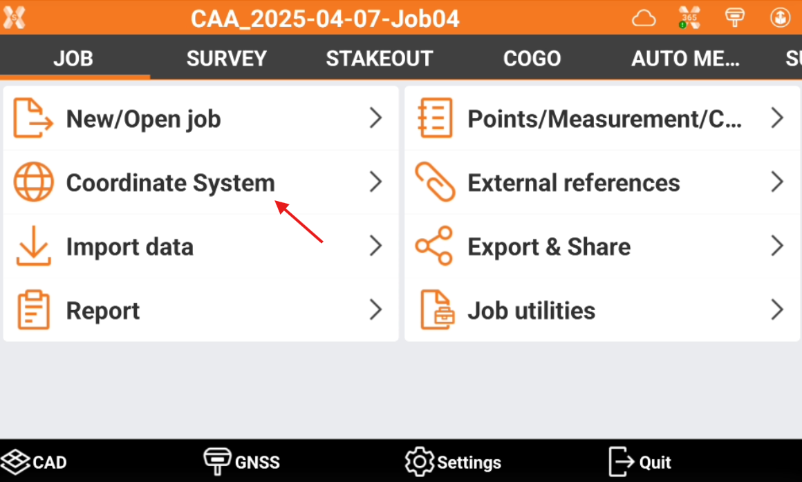
The commands related to coordinate systems can be accessed from Coordinate System page.
-
Click Job.
-
Click Coordinate System.
-
Cartographic system: how to set the cartographic system.
-
GNSS localization: understanding the different GNSS localization like single point, site calibration, reference axis and more.
-
Ground to grid scale factor: how to configure the ground to grid scale factor to reduce total station measurements.
-
Base position adjustment: how to adjust the base position based on a rover measurement on a known coordinate point.
-
Coordinate system tools: how to save, export or generate a report of the current coordinate system.
|
Video tutorials |
|
|---|---|
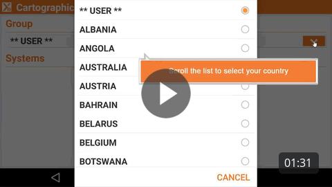
Predefined cartographic system How to select a predefined cartographic system. |
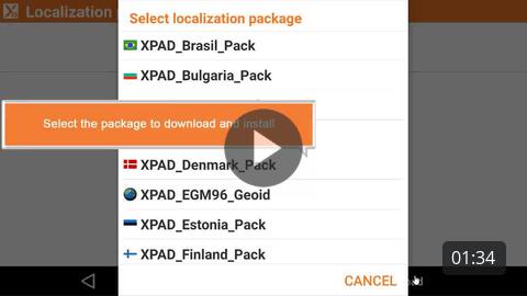
How to download a country package to access local grid files and geoids. |
How to perform a GNSS site calibration to calculate a local system using a set of known points. |
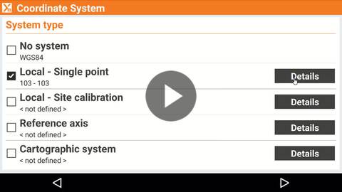
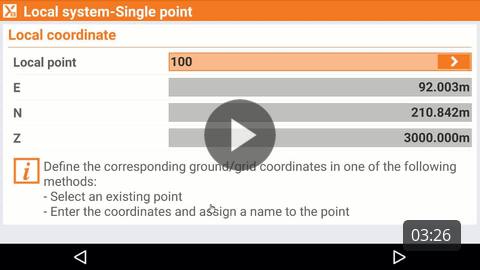
How to calculate a local system for GNSS localization using a single point. |
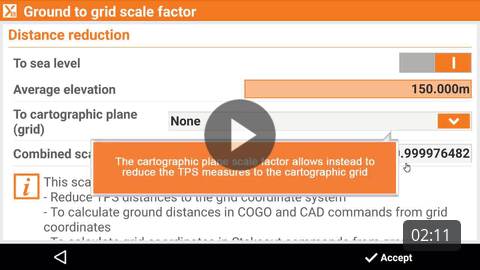
How to calculate and apply a ground to grid scale factor to reduce TPS distances to the cartographic system. |
How to perform a GNSS site calibration to calculate a local system using a set of known points. |
|
How to calculate a local system for GNSS localization using a single point. |
|