



-
Stakeout procedures provide information in graphic, numeric and vocal format, to reach a point, an element or in general a particular position.
-
This chapter explains the commands and functions that are available in stakeout with GPS and total stations.
-
There is a dedicated chapter regarding the Stakeout - GNSS and the Stakeout - TPS .
-
A wide range of options and operative modes are available.
-
Stakeout points: how to stakeout topographic points and coordinates.
-
Stakeout objects: how to stakeout geometric elements.
-
Stakeout distance: how to stakeout a distance from a reference element.
-
Stakeout chainage & offset: how to stakeout positions on a reference element with a chainage and offset.
-
Stakeout sideslopes: how to stakeout sidelopes.
-
Stakeout sideslopes automatic: how to automatic stakeout sideslopes in excavation sites.
-
Stakeout angle: how to stakeout a new position that creates a specific angle from a reference line.
-
Stakeout pipe: how to stakeout pipe elements along a predefined direction and with a specific slope.
-
Stakeout surfaces: how to stakeout surfaces.
-
Stakeout report: how to generate a report with stakeout measurements.
|
Video tutorials |
|
|---|---|
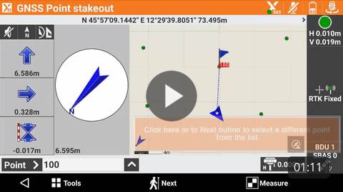
How to define a list of points to stakeout. |
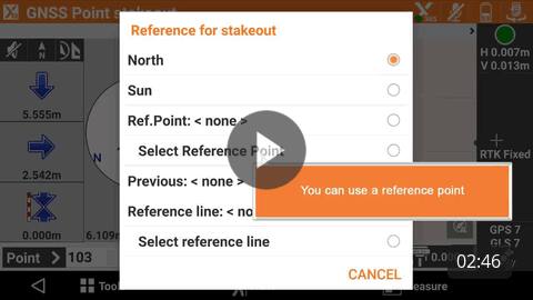
How to stakeout topographic points. |
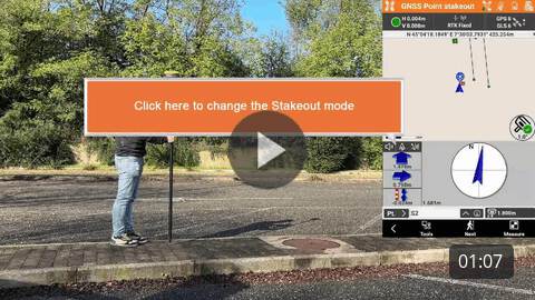
How to stakeout points using the indications by current direction. |
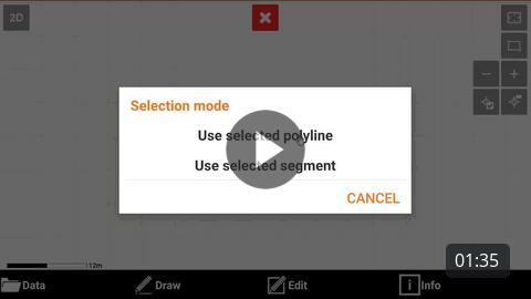
How to stakeout CAD objects. |
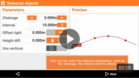
How to stakeout objects defining station and offset. |
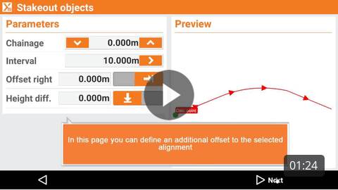
How to stakeout sideslopes. |
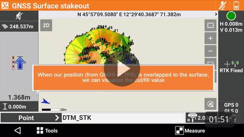
How to stakeout a DTM. |
|
|
Webinars |
|
(2023-7-13) Webinar on how efficiency stakeout in the X- PAD software. |
|