


-
The Road module is used to:
-
Managing road design data in the field.
-
Design road data in the field.
-
Performing all stakeout operations without using point coordinates but using original design data.
-
Stakeout and obtaining road design information at any station.
-
Stakeout road sideslopes.
-
-
Import road data: how to import design road data from different files format.
-
Road manager: how to manage imported road data or create new road data design in the field.
-
Edit a road: how to edit a road loaded in the job.
-
Design a road step-by-step: a step-by-step guide on how to design a road in the field.
-
Road stakeout: how to stakeout road design by chainage and offset.
-
Where am I?: how to stakeout the 3D model of the road design.
-
Sideslope stakeout: how to stakeout road sideslopes.
-
Road stakeout report: how to generate a report of the stakeout measurements.
-
X-Sections template: how to create cross sections to apply to a road design.
|
Video tutorials |
|
|---|---|
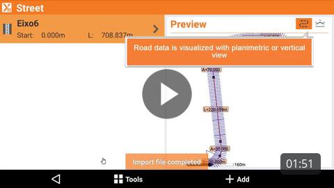
How to import road design data for field stakeout. |
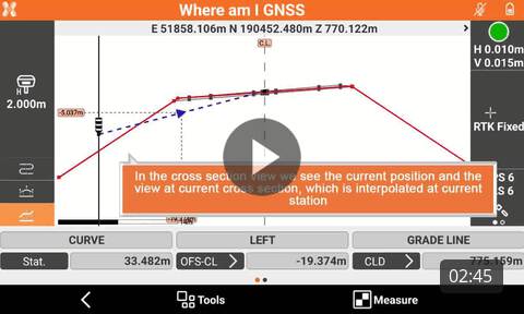
How to use the Where am I? function to stakeout road 3D models. |
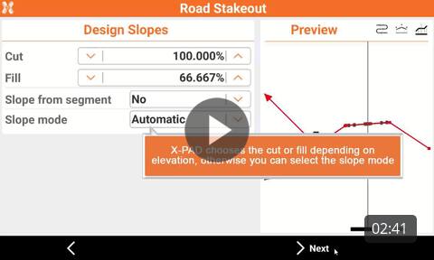
How to stakeout road sideslope. |
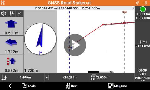
How to stakeout road design entering station and offset on a specific cross section. |
|
Webinars |
|
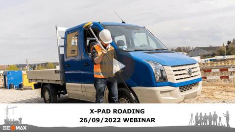
(2022-09-26) Webinar for understanding how to work with roading optional module to import and stakeout road design data. |
|