-
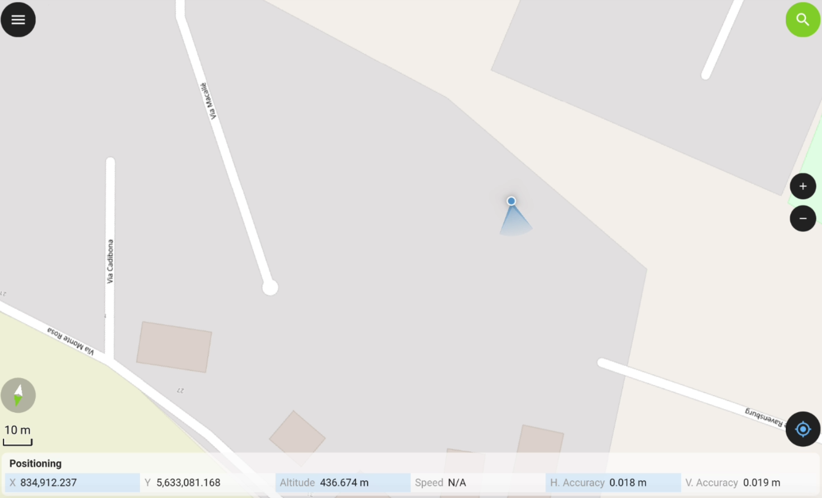
A mock location is a GNSS location that replaces your device's actual physical location, allowing to use the accurate position from a GNSS receiver in third-party app.
-
The software, when working with a GNSS receiver, allows to use the actual GNSS receiver as mock location, in order to give access to the precise coordinate to other Android applications.
Select X-PAD Ultimate as mock application in Android
-
The first step is to select X-PAD Ultimate as mock application in Android developer options.
-
Verify you are a Developer in Android.
To enable the Developer options in Android, you must be a developer. In most of Android devices this is done clicking 5 times on Build number field in About tablet.
For IMU receivers, the mock location is corrected by the IMU.
-
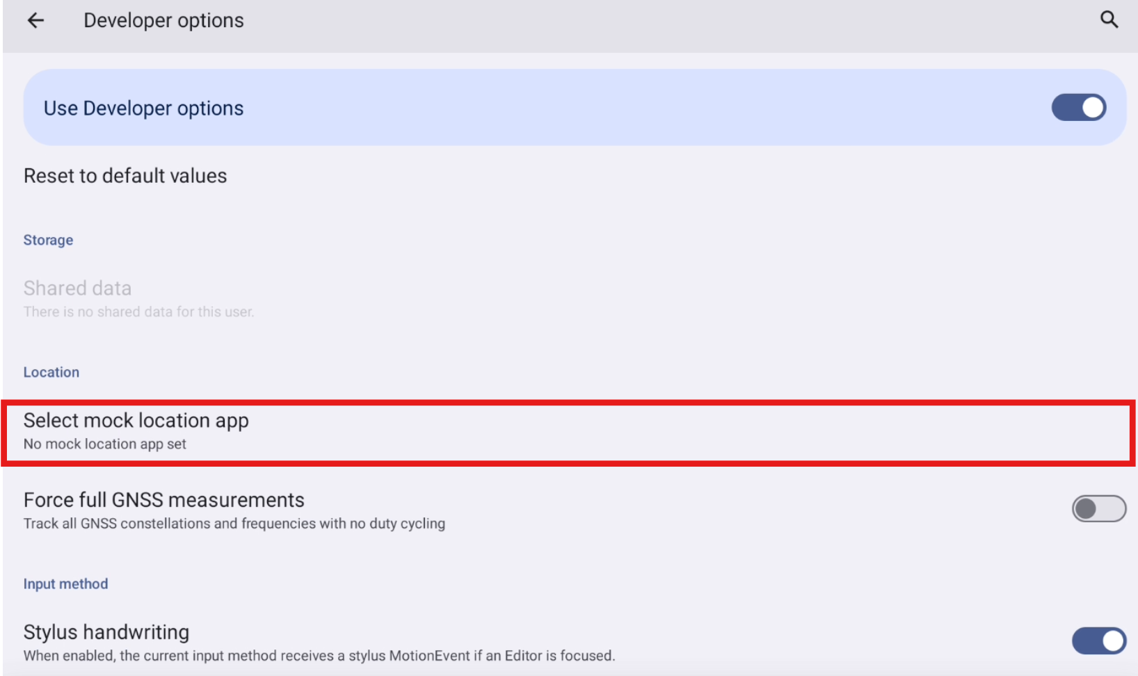
In Android Settings select Developer options.
-
Click Select mock location app.
-
Select X-PAD as mock location app.

Start GNSS Mock location in X-PAD
-
Configure a GNSS receiver in the X-PAD software.
-
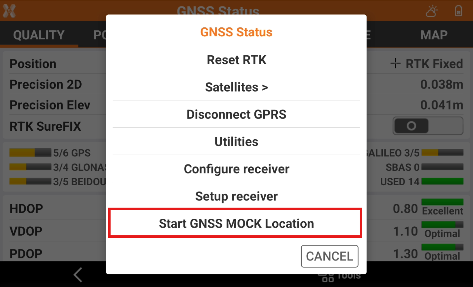
Open the GNSS Status page.
-
Click Tools to open the list of available tools.
-
Select Start GNSS Mock location.
-
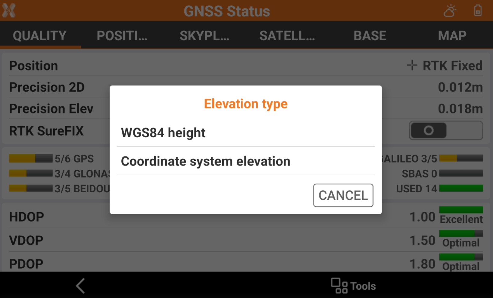
Select what elevation to use in mock location.
-
WGS84 height: the mock location elevation is the elevation over the WGS84 ellipsoid.
-
Coordinate system elevation: the mock location elevation is the elevation configured in Coordinate system, for example over the selected geoid.
-
-
Do not close X- PAD software but reduce it.
-
Open the third-party app.
-
The app is using the position from the topographic instrument.