



-
In the survey window, different tools and functions are available that can be very useful during measuring operations.
-
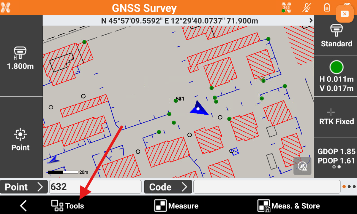
To open the Tools click on Tools button.
Edit last point
-
The command allows to edit the last measured point.
-
Click Tools.
-
Click Edit last point.
-
The measure page is opened to edit the point measured.
Delete last point
-
The command allows to delete the last measurement.
-
Click Tools.
-
Click Delete last point and confirm.
Share last point
-
The command allows to share the last measured point.
-
Click Tools.
-
Click Share last point and confirm.
-
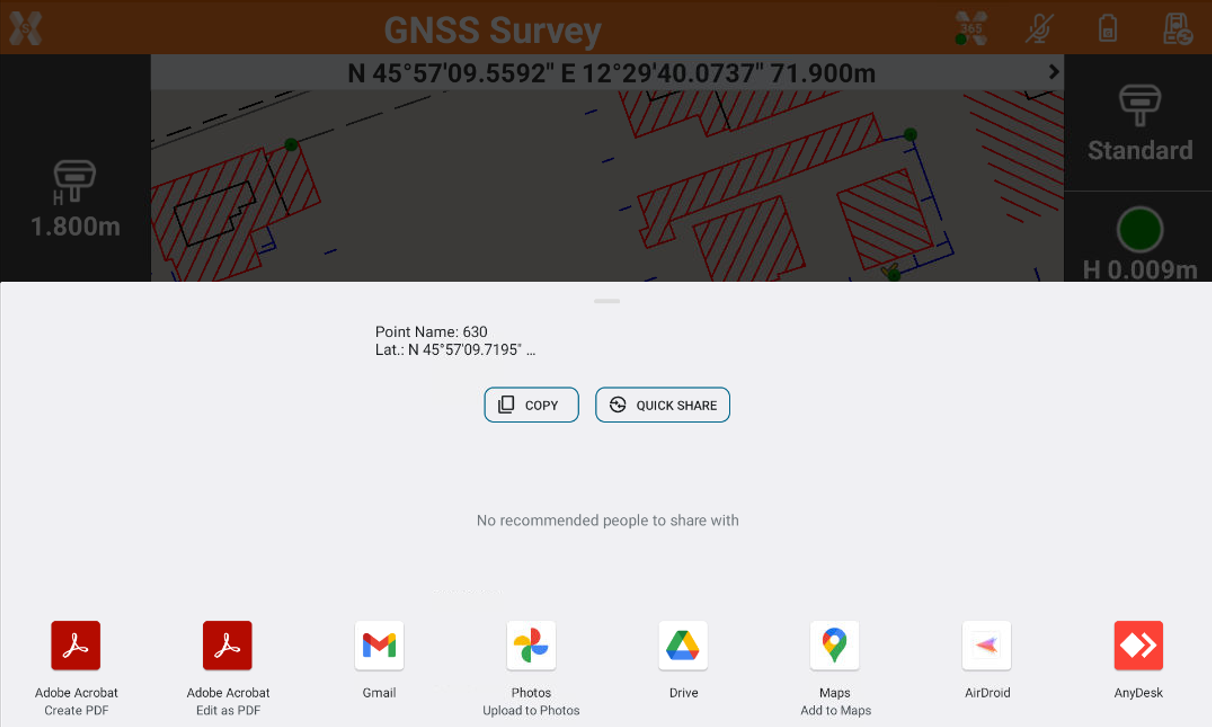
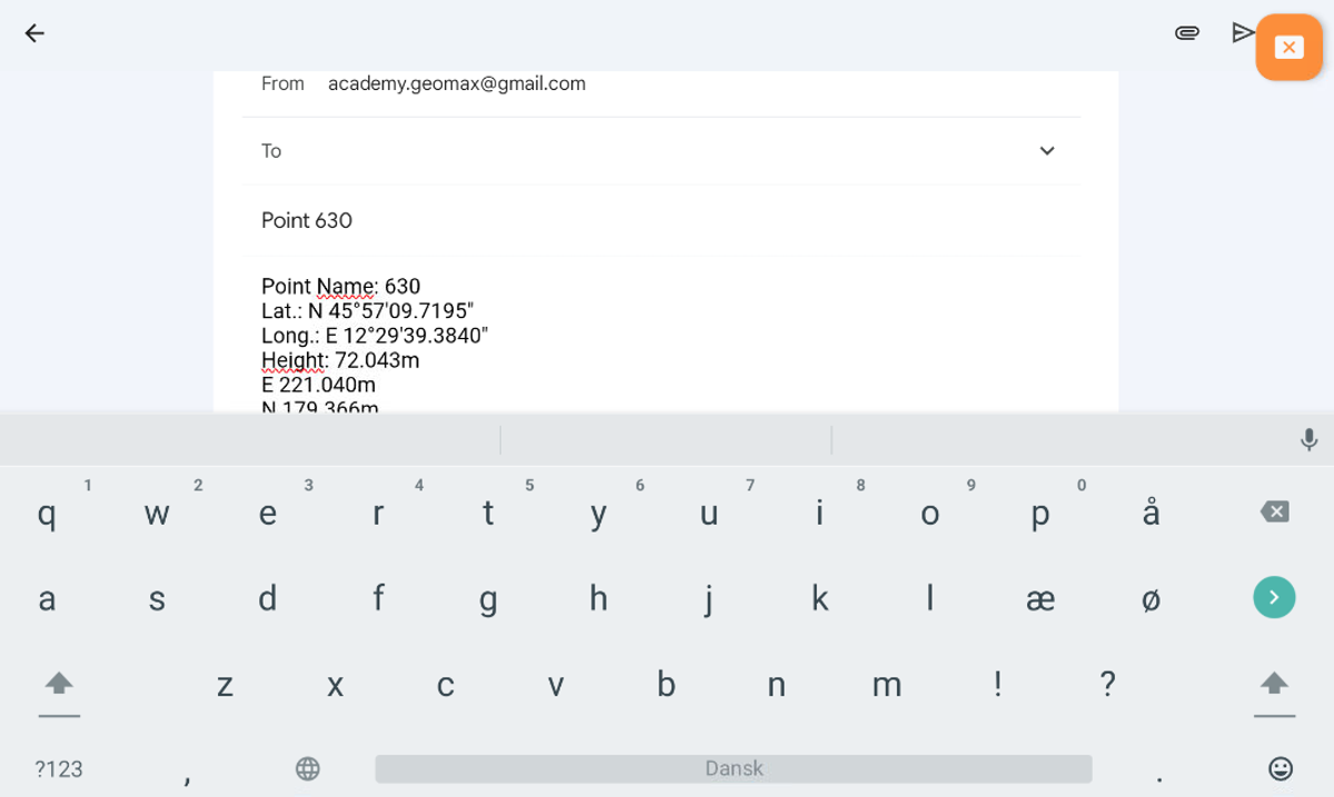
Select the sharing method and complete the procedure.
-
For the selected point information related to coordinates (geographic and plane), the code, the description and the eventual photo/sketch associated is sent.
Add a note
-
The command allows to add to the fieldbook free notes.
-
Click Tools.
-
Click Add note.
-
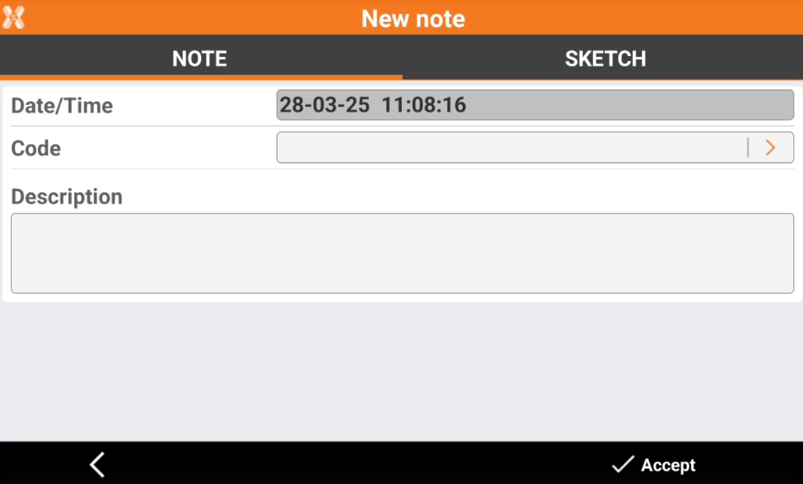
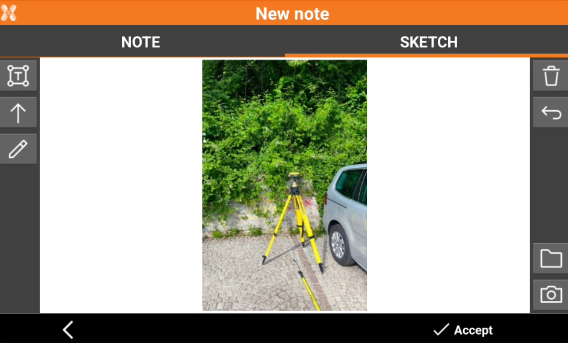
This opens the New note page.
-
The Note page allows to add a descriptive text.
-
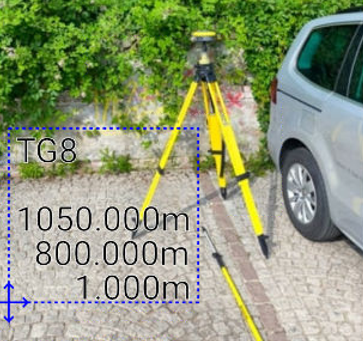
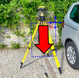
The Sketch page allows add a sketch or photo to the note.
-
-
-
-
-
-
-
-
-
Points and measurements
-
The command allows to open the Points and Measurements table.
-
Click Tools.
-
Click Points & Measurements.
Open survey settings
-
The command allows to open the GNSS Setting page or TPS Setting page, depending on selected instrument.
-
Click Tools.
-
Click Survey setup.
COGO Inverse
-
COGO Inverse is useful function to calculate information between two different points.
-
The function can be quickly opened from the Survey page.
-
Click Tools.
-
Click COGO Inverse to open the relative COGO function.
Start log
-
The function allows to start to record raw data using a GNSS receiver.
X-PAD 365 - Collaborative survey
-
The function allows to open the X-PAD 365 collaborative survey.
Requires a X- PAD 365 Professional or Enterprise account
-
See Collaborative Survey for more information.