



-
Survey codes allow the precise identification of points and to automate many operations to complete a drawing of the survey.
-
For every code, information can be added:
-
Description.
-
Symbol and layer: based on the code, points are represented with a certain symbol and on a certain layer.
-
GIS feature. The GIS feature is composed by a group of properties freely definable by the user. When a code or a GIS feature is associated to a point it is possible to integrate the point with the information corresponding to properties defined by the feature.
-
-
Survey codes can be defined in a parametric way that generate a corresponding parametric long description.
-
Different libraries of codes can be defined and used in different jobs. The current library can be exchanged with a different one.
-
To open the Codes page click Job.
-
Click Points/Measurements/Codes.
-
Open the Codes tab.
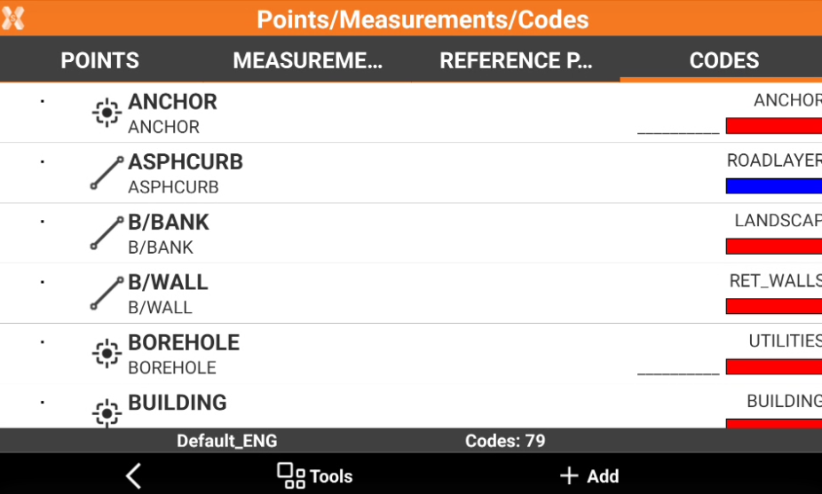
Code libraries are saved as files in the directory X-PAD\_Data\Codes. Files have *.xml extension.
It is possible to manage the code library using Office Fusion.
-
Create a code: how to create a new survey code.
-
Edit a code: how to edit the properties of a code.
-
Delete codes: how to delete codes.
-
Create a new codes library: how to create a new codes library.
-
Import a codes library: how to import a codes library in different formats.
-
Select a code library as default for a site: how to define a code library as default library for all the jobs in a site and how to define it for collaborative sites.
-
Save a codes library as default: how to save a codes library as default codes library for new jobs.
-
Export current library: how to export the current codes library.
-
Symbols manager: how to use the symbol manager to import and assign symbols to the codes.
-
Layers manager: how to use the layer manager to manage the CAD layers and assign them to the codes.
-
Linetypes manager: how to use the linetypes manager to manage the linetypes and assign them to the codes.