

-
The function allows to determine in the field the design elevation of a three-dimensional surfaces loaded in current job.
-
For every position, the elevation of the current position is compared with the elevation interpolated on the surface and the difference of elevation is calculated.
-
The surfaces stakeout can be used for:
-
Stakeout of a planned surface in the field.
-
Quality check to test the correspondence between the built and the plan.
-
For more information on how to import or create a surface please refer to Surfaces and Volumes.
The command is also available from the Surfaces list.
-
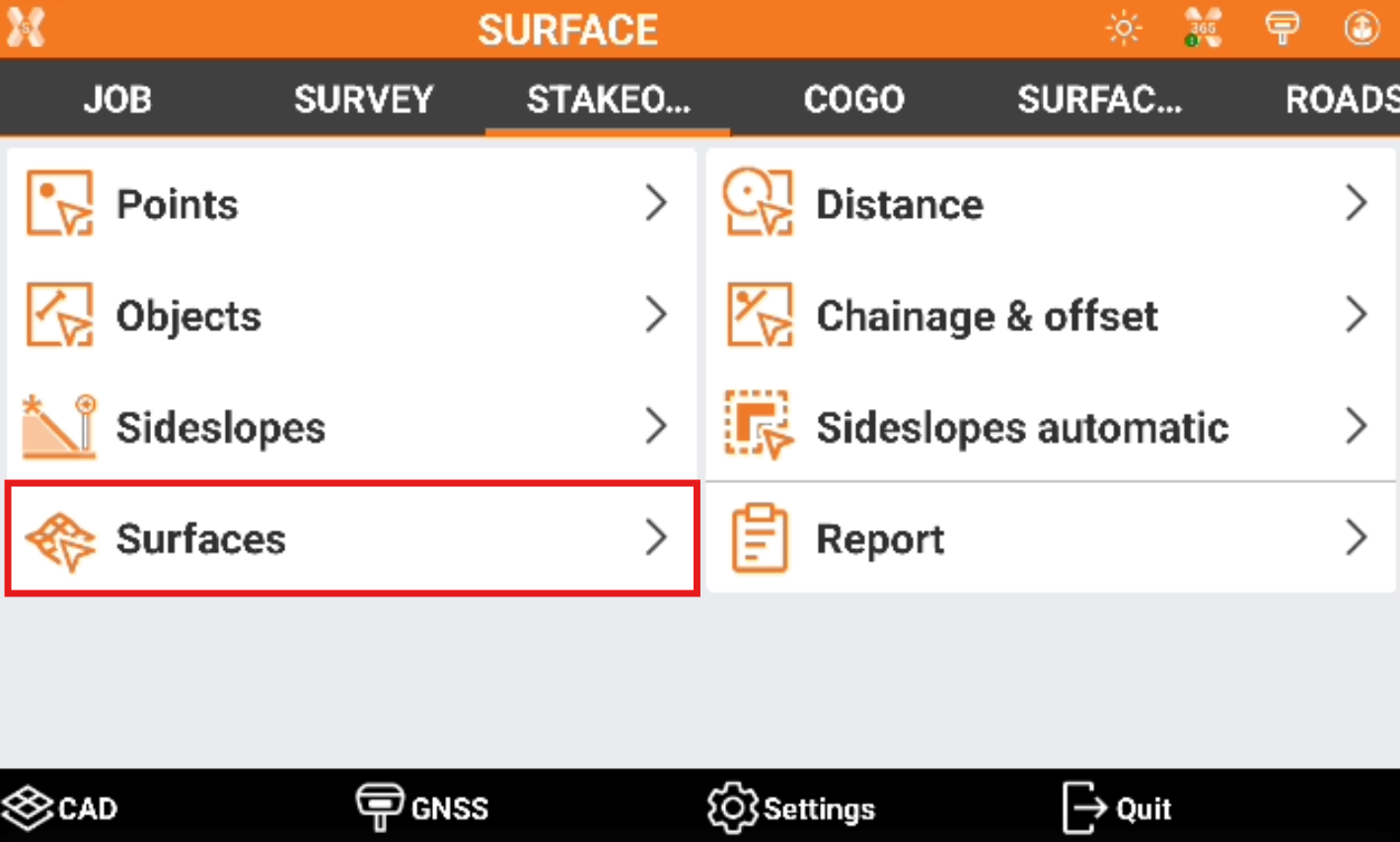
Click Stakeout.
-
Click Surface.
-
Select from the list of available surfaces in the job the surface to stakeout.
Stakeout the surface
-
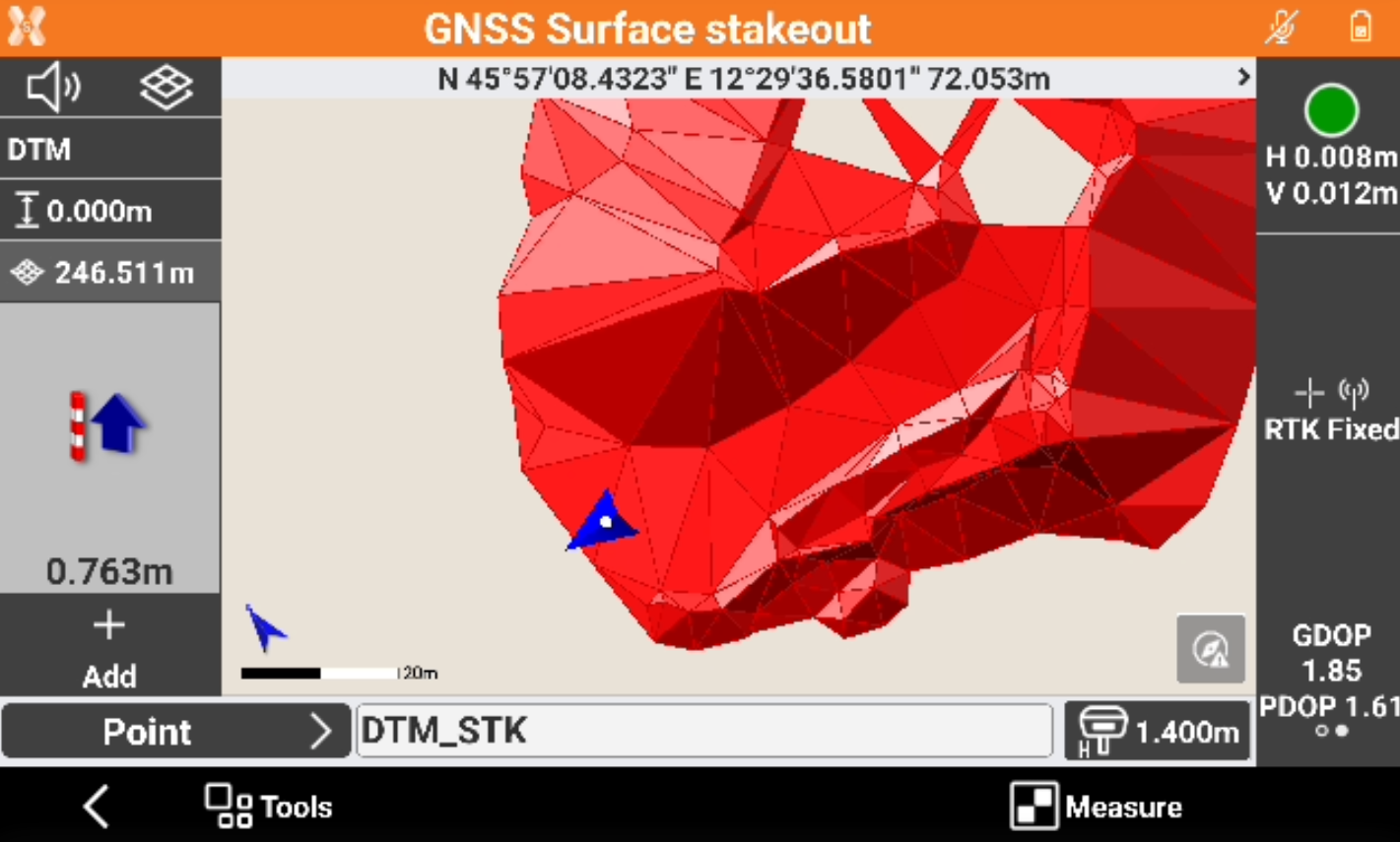
The software shows the surface stakeout page.
-
The side panel visualizes in real-time the difference of elevation between the current position and the elevation interpolated on the surface. The field above the cut/fill value shows the surface elevation at current position.
-
In the input field, manage the point name.
-
Click Measure to measure the current position with stakeout information.
Stakeout surface view mode
-
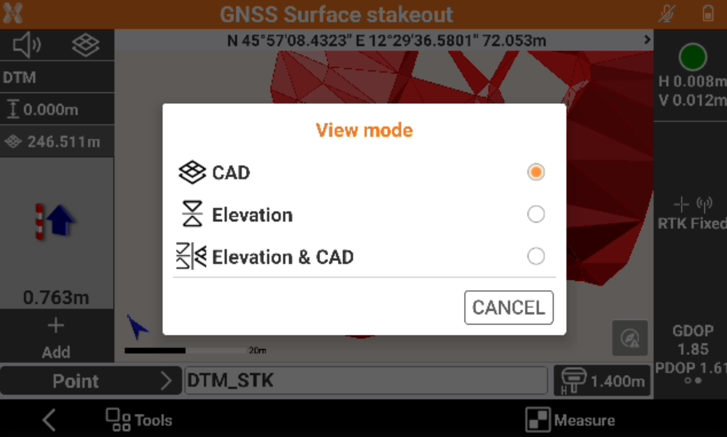
It is possible to change the surface stakeout view mode clicking on

-
CAD: shows the standard CAD view.
-
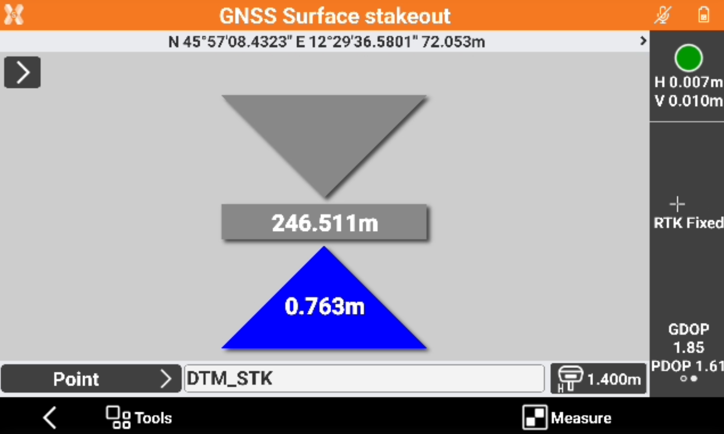
Elevation: shows in a readable way the cut/fill values and the current elevation of the surface. This view mode is recommended when the GNSS is used in machine control setup.
-
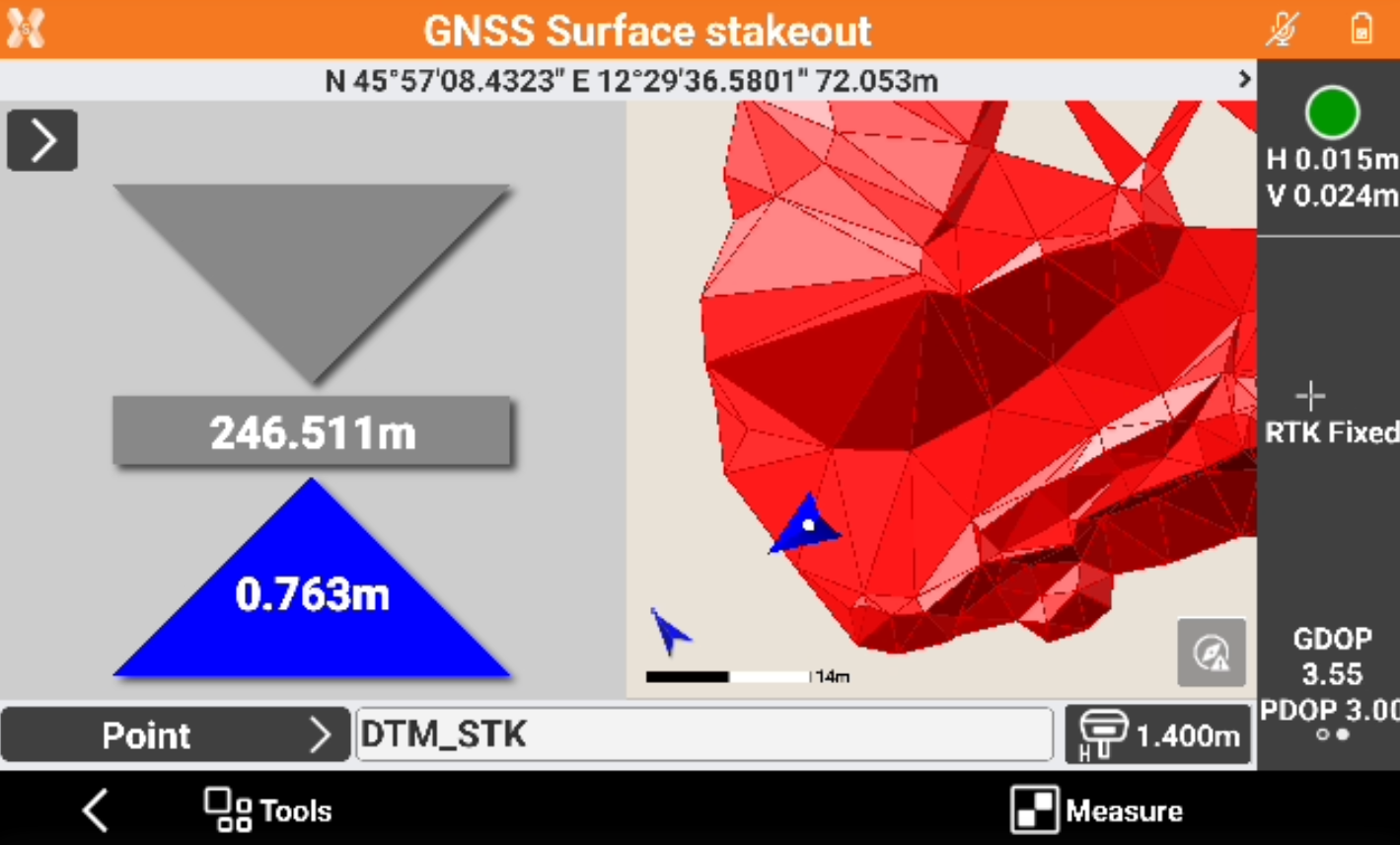
Elevation and CAD: shows in a split screen the CAD view and the cut/fill values with current elevation of the surface.
-
Change the surface during the stakeout
-
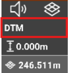
To change the surface to stakeout click the surface name on the left bar.
-
Select the surface to stakeout from the list of available surfaces in the job.
Apply a vertical offset to the surface
-
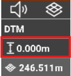
To apply a vertical offset to the surface to stakeout click on the left bar.
-
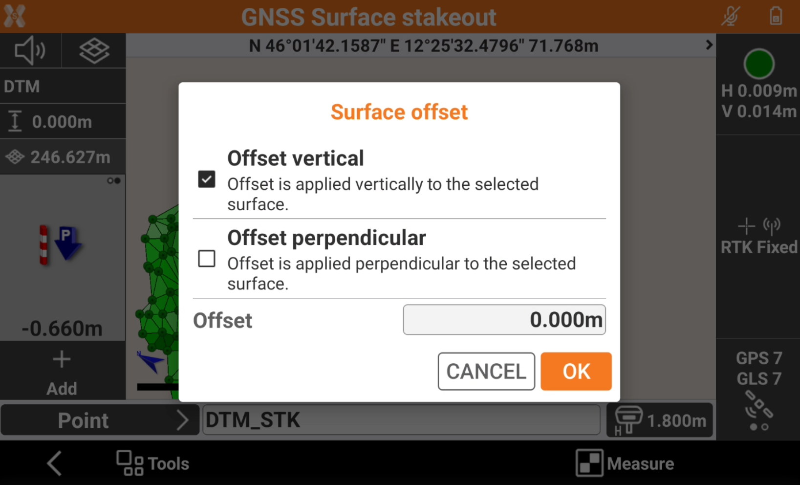
Specify how the offset is applied and the offset value.
-
Offset vertical: the offset is applied vertically to the selected surface.
-
Offset perpendicular: the offset is applied perpendicular to the selected surface.
-
Offset: the offset values.
-
-
Click OK to apply the offset.
Display vertical or perpendicular elevation difference
-
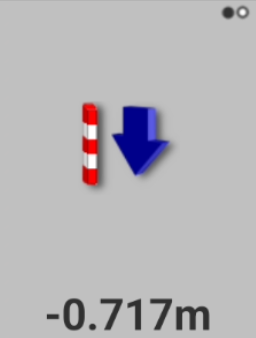
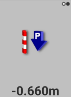
The software allows to display the elevation difference to the surface as vertical or perpendicular to the surface.
-
To change the visualization click the elevation difference icon.
-
Vertical elevation difference:
-
Perpendicular elevation difference:
-
Stakeout two surfaces
-
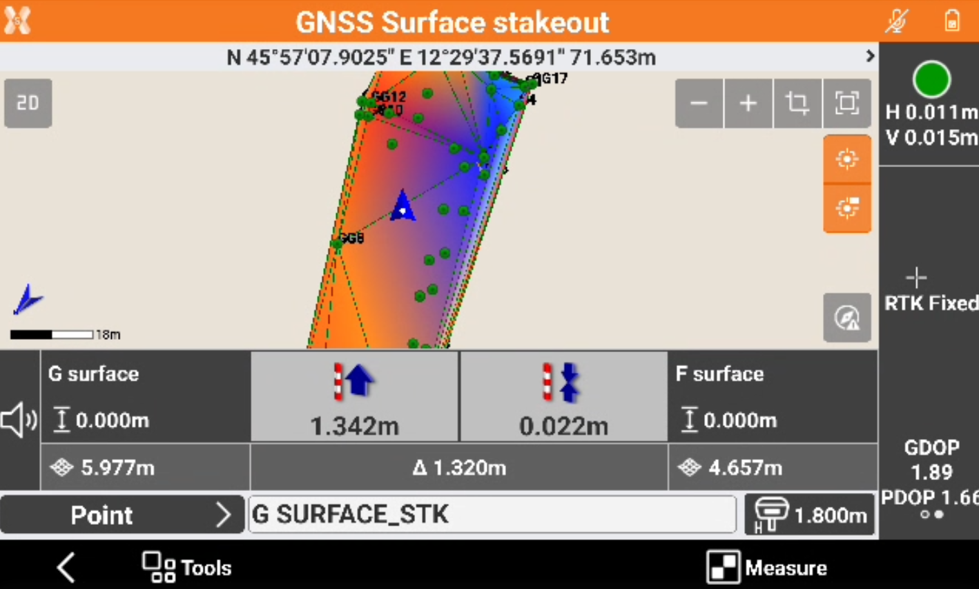
The software allows to stakeout in parallel two different surfaces, and have elevation differences to both the surfaces.
-
To add a second surface click Add and select the second surface.
-
The software shows the elevation differences from the current position to the two surfaces.
-
For each surface the software also indicates the current surface elevation and the difference in elevation between the two surfaces.
-
It is also possible to apply a vertical offset to the surfaces.
Display the cross section profile
-
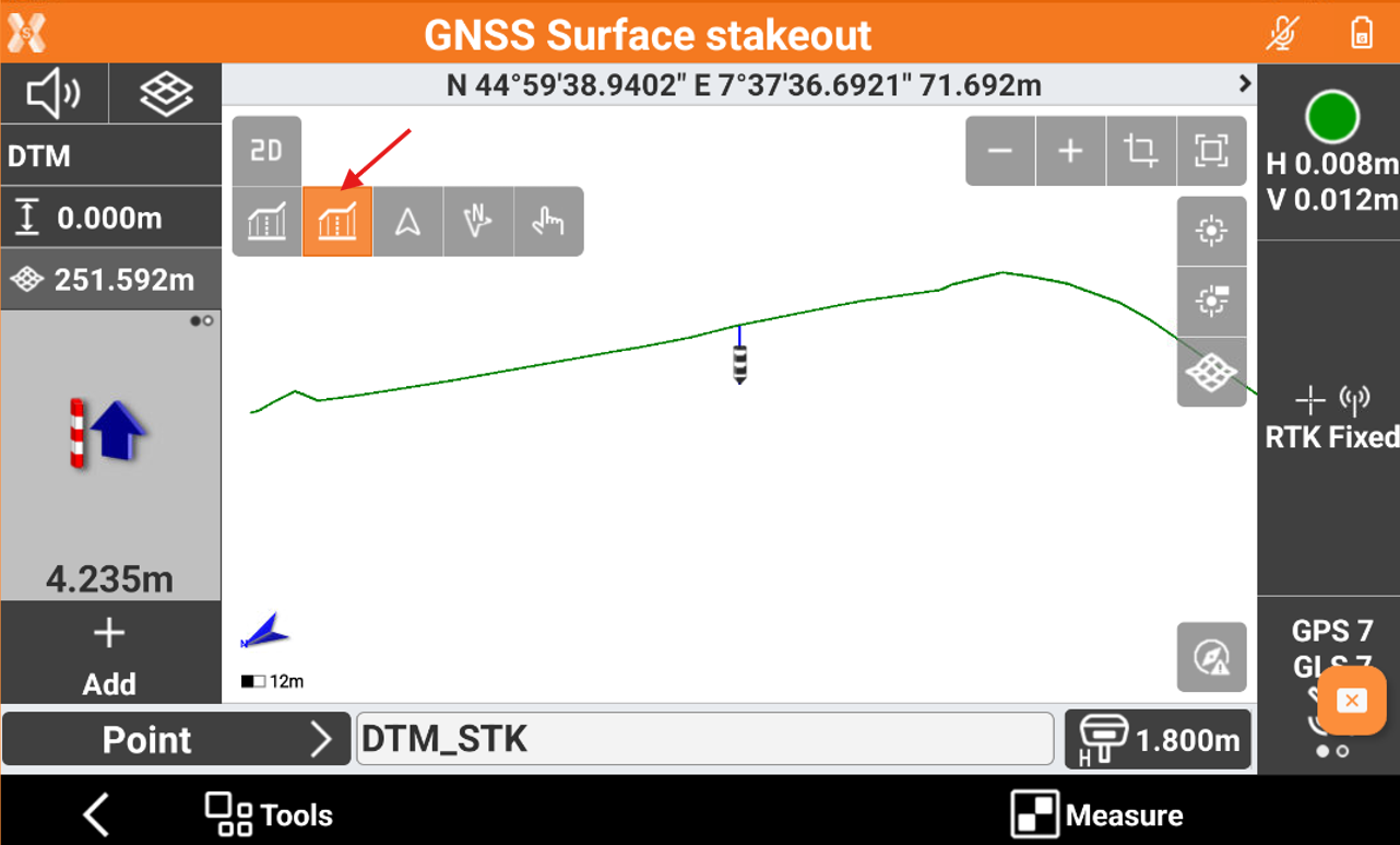
It is possible to change the view from top-view to cross section view.
-
Click the icon on CAD to change to cross section view.