



-
Exports points, lines, measurement lines and surfaces in Google Earth KML or KMZ format.
The main difference is that the KML (Keyhole Markup Language) format is an XML-based file that describes geographic features, while the KMZ format is simply a compressed (ZIP-like) KML file that includes the KML file and other associated media files such as images and sounds, making it a single, smaller, and easier-to-share entity. To export images select KMZ.
-
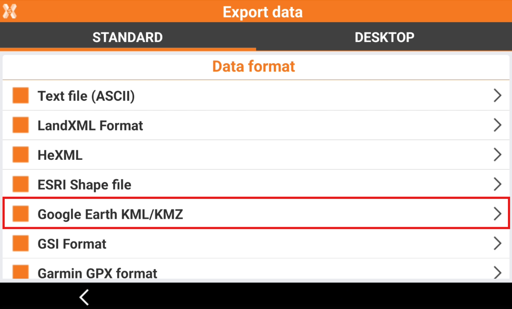
To export the data select Google Earth KML/KMZ.
-
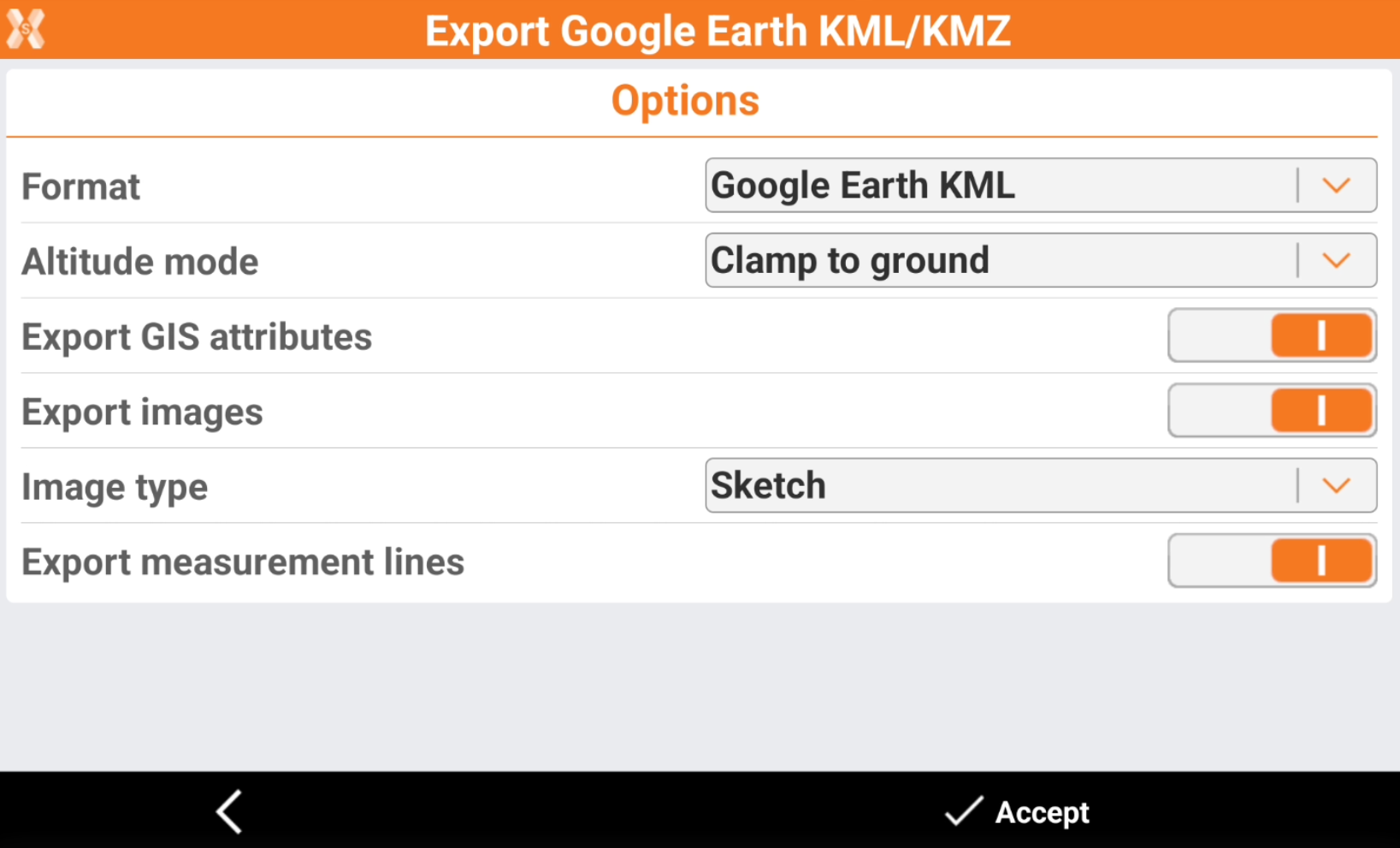
Enter the Export options.
-
Format: select to export the data in Google Earth KML or Google Earth KMZ.
-
Altitude mode: elevations can be defined in three ways:
-
Clamp to ground: elevations are leaned to the 3D model of Google Earth.
-
Relative to ground: elevations are referred to the 3D model of Google Earth.
-
Absolute: elevations are absolute.
-
-
Export GIS attributes: the GIS attributes that have been stored with topographic points can be exported.
-
Export images: enables the export of images. Requires to export in KMZ format.
-
Image type: to select the type of image to export.
-
Sketch: exports the sketch image.
-
Original: exports the original image.
-
Tag image: exports the tag image.
-
-
Export measurement lines: enables the export of measurement lines, for example GNSS baselines.
-
-
Click Accept to export the file.