



-
The software allows to export topographic points, reference points, measurements, drawing and surfaces in LandXML file format.
-
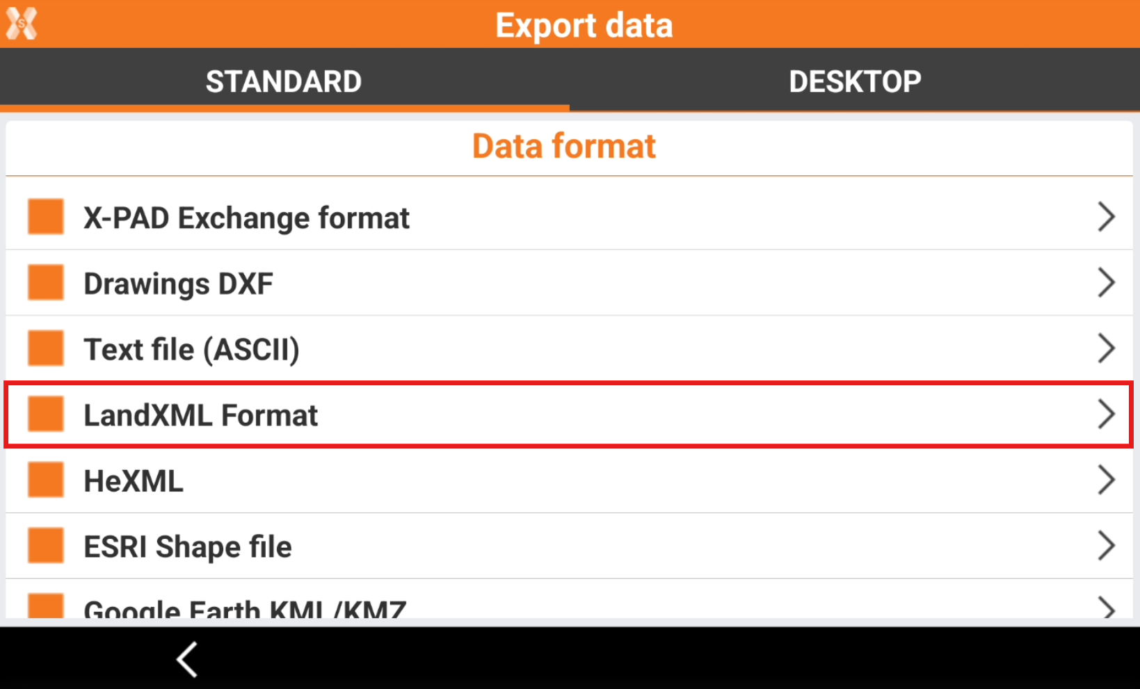
To export the data in LandXML select LandXML Format.
-
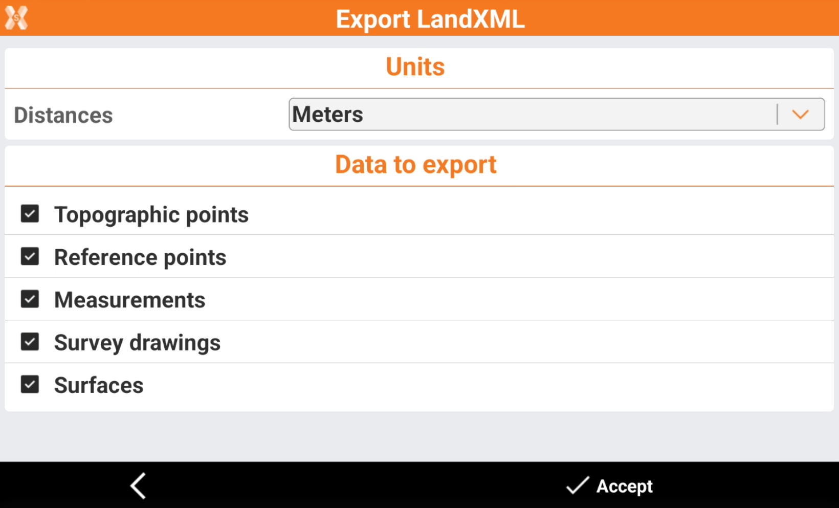
Enter the LandXML Export parameters.
-
Distances: the units used in the exported file.
-
Data to export: allows to select the data to export.
-
-
Click Accept to export the file.